Rue Lally-Tollendal
Rue Lally-Tollendal is in Paris, Île-de-France. Rue Lally-Tollendal is situated nearby to the bike rental Lally-Tollendal - Armand Carrel, as well as near the church Église protestante évangélique.| Tap on a place to explore it |
Places of Interest Nearby
Highlights include Cours Florent and Bolivar station.
Cours Florent
College

Photo: Marielamy, CC BY-SA 4.0.
The Cours Florent is a private drama school in Paris, France, established in 1967 by French theater actor François Florent. The school's facilities are located on three sites in the 19th arrondissement of Paris: Rue Archereau, Rue Mathis, and Avenue Jean-Jaurès. Cours Florent is situated 180 metres north of Rue Lally-Tollendal.
Bolivar station
Metro station

Photo: Clicsouris, CC BY-SA 3.0.
Bolivar is a station on 7bis of the Paris Métro in the 19th arrondissement. It is named after the nearby avenue Simon Bolivar, which in turn was named after Simón Bolívar, liberator of several South American countries. Bolivar station is situated 200 metres south of Rue Lally-Tollendal.
Buttes-Chaumont Park
Park

Photo: Michiel1972, CC BY-SA 3.0.
The Parc des Buttes Chaumont is a public park situated in northeastern Paris, France, in the 19th arrondissement. Occupying 24.7 hectares, it is the fifth-largest park in Paris, after the Bois de Vincennes, Bois de Boulogne, Parc de la Villette and Tuileries Garden.
Places in the Area
Nearby places include Grange aux Belles and 19th arrondissement.

19th arrondissement
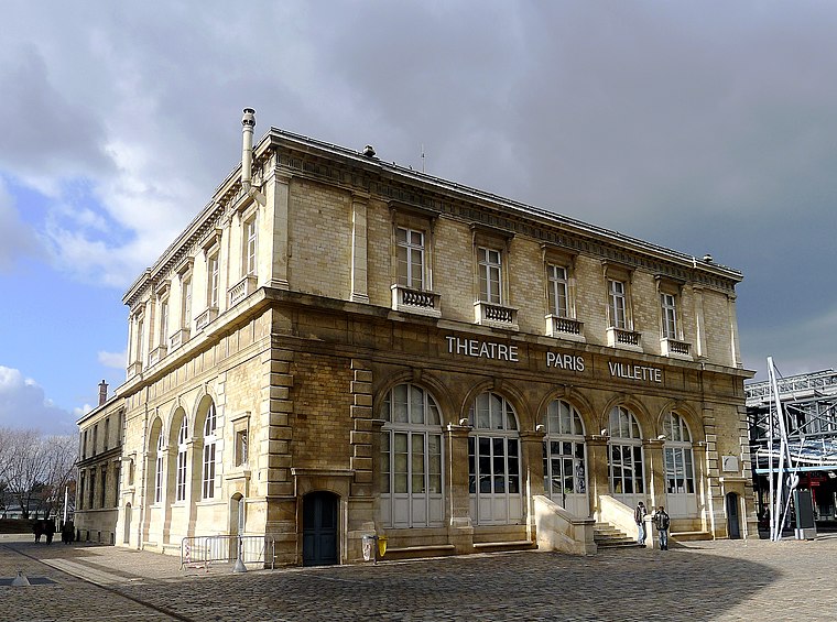
Photo: Mbzt, CC BY-SA 3.0.
The 19th arrondissement of Paris is in the north of the city, and is a peaceful, green and family-friendly refuge from the otherwise quite stuffy and/or shabby city.
Quartier de La Chapelle
Suburb
The Quartier de La Chapelle is a neighborhood of Paris, in the eastern part of the 18th arrondissement. It was originally the village of La Chapelle on the outskirts of Paris and a commune in its own right, separated from the commune of Paris by the wall of the Farmers-General.
Rue Lally-Tollendal
- Type: Pedestrian zone
- Location: Paris, Île-de-France, France, Europe
- View on OpenStreetMap
Latitude
48.88265° or 48° 52′ 58″ northLongitude
2.37478° or 2° 22′ 29″ eastNamed after
Thomas Arthur, comte de LallyOpen location code
8FW4V9MF+3WOpenStreetMap ID
way 1120446688OpenStreetMap feature
highway=pedestrian
This page is based on OpenStreetMap, Wikidata, and Wikimedia Commons.
We’d love your help improving our open data sources. Thank you for contributing.
Satellite Map
Discover Rue Lally-Tollendal from above in high-definition satellite imagery.
Notable Places Nearby
Highlights include Lally-Tollendal - Armand Carrel and Église protestante évangélique.
Nearby Places
Explore places such as N.Y.A. Supermarket and Rue de Meaux.
Paris: Must-Visit Destinations
Delve into La Défense, 1st arrondissement, 7th arrondissement, and 8th arrondissement.
Curious Places to Discover
Uncover intriguing places from every corner of the globe.
About Mapcarta. Data © OpenStreetMap contributors and available under the Open Database License". Text is available under the CC BY-SA 4.0 license, except for photos, directions, and the map. Photo: Benh, CC BY-SA 4.0.