Ferme de l’Agasse
Ferme de l’Agasse is a farm in Jurbise, Arrondissement of Mons, Wallonia. Ferme de l’Agasse is situated nearby to the meadow prairie de la ferme blanche.| Tap on a place to explore it |
Places in the Area
Nearby places include Huissignies and Hautrage.
Huissignies
Village
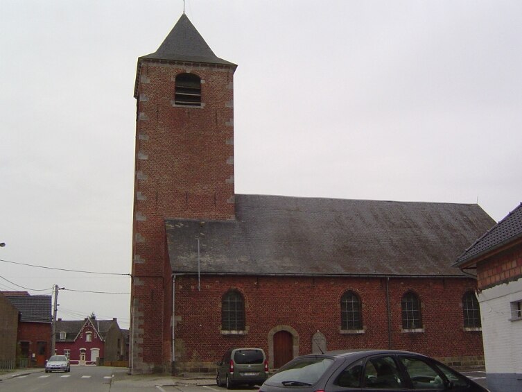
Photo: Laika, CC BY-SA 3.0.
Huissignies is a village, which is situated 7 km northwest of Ferme de l’Agasse.
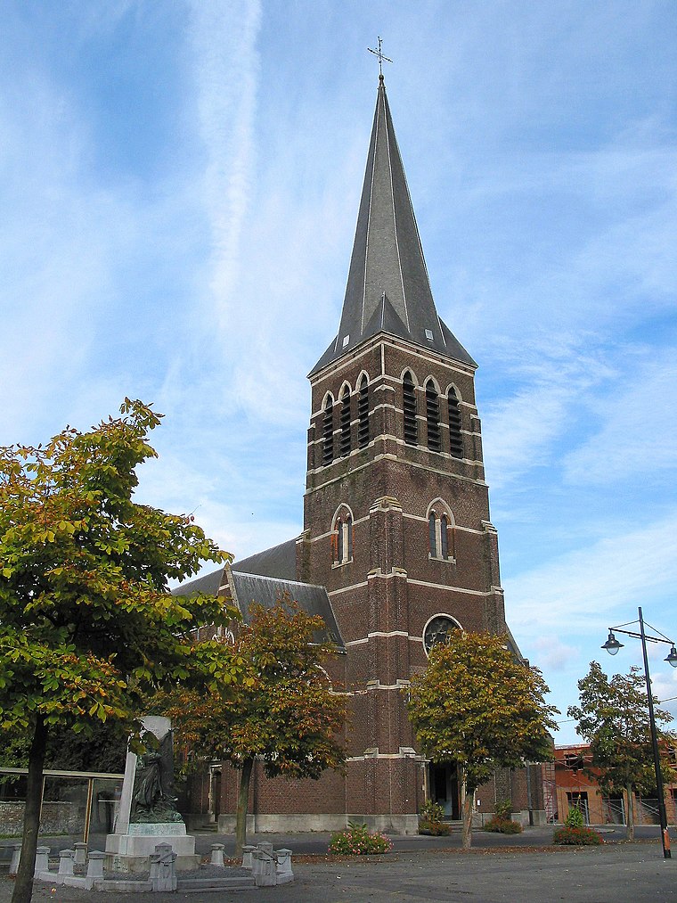
Hautrage
Village

Photo: Jean-Pol GRANDMONT, CC BY-SA 3.0.
Hautrage is a village, which is situated 7 km southwest of Ferme de l’Agasse.
Ghlin
Village
 Ghlin is a sub-municipality of the city of Mons located in the province of Hainaut, Wallonia, Belgium. It was a separate municipality until 1972. On 1 January 1972, it was merged into Mons. Ghlin is situated 7 km southeast of Ferme de l’Agasse.
Ferme de l’Agasse
- Type: Farm
- Category: agriculture
- Location: Jurbise, Arrondissement of Mons, Hainaut, Wallonia, Belgium, Benelux, Europe
- View on OpenStreetMap
Latitude
50.52788° or 50° 31′ 40″ northLongitude
3.83728° or 3° 50′ 14″ eastOpen location code
9F25GRHP+5WOpenStreetMap ID
way 112504585OpenStreetMap feature
landuse=farmyard
This page is based on OpenStreetMap, Wikidata, and Wikimedia Commons.
We’d love your help improving our open data sources. Thank you for contributing.
Satellite Map
Discover Ferme de l’Agasse from above in high-definition satellite imagery.
Notable Places Nearby
Highlights include prairie de la ferme blanche and La Fontaine Loquet.
Nearby Places
Explore places such as miscanthus and MS17.
Hainaut: Must-Visit Destinations
Delve into Charleroi, Mons, Tournai, and La Louvière.
Curious Farms to Discover
Uncover intriguing farms from every corner of the globe.
About Mapcarta. Data © OpenStreetMap contributors and available under the Open Database License". Text is available under the CC BY-SA 4.0 license, except for photos, directions, and the map. Photo: Jean-Pol GRANDMONT, CC BY-SA 3.0.