CAMVS
CAMVS is a government building in La Rochette, Arrondissement of Melun, Île-de-France. CAMVS is situated nearby to the public building Caf de Seine-et-Marne, as well as near the town hall Mairie de La Rochette.| Tap on a place to explore it |
Places of Interest Nearby
Highlights include Melun station and Tribunal Judiciaire de Melun.
Melun station
Railway station
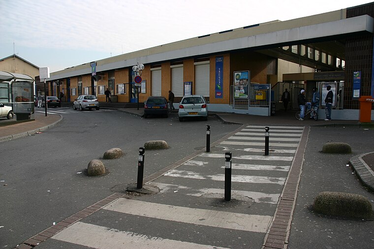
Photo: Wikimedia, CC BY-SA 3.0.
Melun station is a railway station in Melun, Seine-et-Marne, Paris, France. The station was opened on 3 January 1849 and is on the Paris–Marseille railway. Melun station is situated 600 metres north of CAMVS.
Tribunal Judiciaire de Melun
Courthouse

Photo: Jehpuh, CC BY-SA 4.0.
Tribunal Judiciaire de Melun is a courthouse, which is situated 530 metres north of CAMVS.
Town hall of Dammarie-les-Lys
Town hall

Photo: Wikimedia, Public domain.
Town hall of Dammarie-les-Lys is situated 1½ km southwest of CAMVS.
Places in the Area
Nearby places include Dammarie-lès-Lys and Melun.
Dammarie-lès-Lys
Town

Photo: Hg marigny, CC BY-SA 3.0.
Dammarie-lès-Lys is a commune in the south-eastern suburbs of Paris, France. It is located in the Seine-et-Marne department in the Île-de-France region 43.3 km from the center of Paris.
Melun
Town

Photo: Velvet, CC BY-SA 3.0.
Melun is a commune in the Seine-et-Marne department in the Île-de-France region, north-central France. It is located on the southeastern outskirts of Paris, about 41 kilometres from the centre of the capital.
Vaux-le-Pénil
Town

Photo: Pruneau, CC BY-SA 3.0.
Vaux-le-Pénil is a commune in the Seine-et-Marne department in the Île-de-France region in north-central France.
CAMVS
- Type: Government building
- Category: building
- Location: La Rochette, Arrondissement of Melun, Seine-et-Marne, Île-de-France, France, Europe
- View on OpenStreetMap
Latitude
48.52231° or 48° 31′ 20″ northLongitude
2.65293° or 2° 39′ 11″ eastLevels
3Open location code
8FW4GMC3+W5OpenStreetMap ID
way 113076242OpenStreetMap feature
building=government
This page is based on OpenStreetMap, Wikidata, and Wikimedia Commons.
We’d love your help improving our open data sources. Thank you for contributing.
Satellite Map
Discover CAMVS from above in high-definition satellite imagery.
Notable Places Nearby
Highlights include CAMVS and Caf de Seine-et-Marne.
Nearby Places
Explore places such as McDonald’s and Relais La Rochette Melun.
Île-de-France: Must-Visit Destinations
Delve into Paris, Versailles, Boulogne-Billancourt, and Paris Charles de Gaulle Airport.
Curious Government Buildings to Discover
Uncover intriguing government buildings from every corner of the globe.
About Mapcarta. Data © OpenStreetMap contributors and available under the Open Database License". Text is available under the CC BY-SA 4.0 license, except for photos, directions, and the map. Photo: Romain D C, CC BY-SA 3.0.