Rytimäen koulu
Rytimäen koulu is a school in Kokkola, Central Ostrobothnia which is located on Rytimäentie. Rytimäen koulu is situated nearby to the park Rytimäenpuisto, as well as near Aurinkopuisto.| Tap on a place to explore it |
Places of Interest Nearby
Highlights include Kokkolan jäähalli and Kokkola Old Town Hall.
Kokkolan jäähalli
Ice rink

Photo: Jukka68, CC BY-SA 3.0.
The following is a list of indoor arenas in Finland with a capacity of at least 1,000 spectators, most of the arenas in this list are for multi use proposes and are used for popular sports such as individual sports like karate, judo, boxing as well as team sports like ice hockey, curling, volleyball. Kokkolan jäähalli is situated 1½ km west of Rytimäen koulu.
Kokkola Old Town Hall
Theater building

Photo: Zunter, CC BY-SA 4.0.
Kokkola Old Town Hall is a theater building, which is situated 2 km southwest of Rytimäen koulu.
Kokkola railway station
Railway station

Photo: Jukka68, Public domain.
Kokkola railway station is located in the town of Kokkola, Central Ostrobothnia, Finland. The railway to Kokkola was completed in 1885 and further to Oulu in 1886. Seinäjoki railway station is located 133 kilometres away from Kokkola. Kokkola railway station is situated 2½ km southwest of Rytimäen koulu.
Places in the Area
Nearby places include Mäntykangas.
Mäntykangas
Suburb
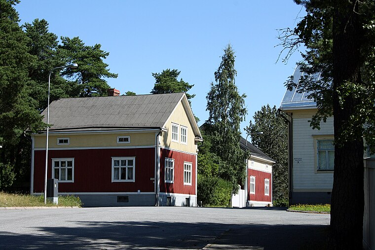
Photo: Jukka68, CC BY-SA 3.0.
Mäntykangas is a suburb, which is situated 2½ km southwest of Rytimäen koulu.
Rytimäen koulu
- Type: School
- Address: Rytimäentie 16
- Category: education
- Location: Kokkola, Kokkola, Central Ostrobothnia, West Coast, Finland, Nordic countries, Europe
- View on OpenStreetMap
Latitude
63.85171° or 63° 51′ 6″ northLongitude
23.16394° or 23° 9′ 50″ eastOpen location code
9GM5V527+MHOpenStreetMap ID
way 1136576532OpenStreetMap feature
amenity=school
This page is based on OpenStreetMap, Wikidata, and Wikimedia Commons.
We’d love your help improving our open data sources. Thank you for contributing.
Satellite Map
Discover Rytimäen koulu from above in high-definition satellite imagery.
Notable Places Nearby
Highlights include Rytimäenpuisto and Aurinkopuisto.
Nearby Places
Explore places such as Rytimäen päiväkoti and Helmelli.
Central Ostrobothnia: Must-Visit Destinations
Delve into Kannus, Kaustinen, and Inland Central Ostrobothnia.
Curious Schools to Discover
Uncover intriguing schools from every corner of the globe.
About Mapcarta. Data © OpenStreetMap contributors and available under the Open Database License". Text is available under the CC BY-SA 4.0 license, except for photos, directions, and the map. Photo: Ypsilon from Finland, CC0.