Barnshaw Smithy
Barnshaw Smithy is a café in Mobberley, Cheshire East, England. Barnshaw Smithy is situated nearby to Mobberley railway station, as well as near the forest Hanging Bank.| Tap on a place to explore it |
Places of Interest Nearby
Highlights include Mobberley railway station and Ashley railway station.
Mobberley railway station
Railway station

Photo: Stephen Craven, CC BY-SA 2.0.
Mobberley railway station serves the village of Mobberley, in Cheshire, England. It lies to the north of the village and is managed by Northern Trains. The station is 18½ miles south of Manchester Piccadilly on the Mid-Cheshire line towards Chester. Mobberley railway station is situated 2,200 feet south of Barnshaw Smithy.
Ashley railway station
Railway station

Photo: Chris Shaw, CC BY-SA 2.0.
Ashley railway station serves the village of Ashley, in Cheshire, England. It is located on the Mid-Cheshire line, 17+3⁄4 miles south-west of Manchester Piccadilly. Ashley railway station is situated 1½ miles north of Barnshaw Smithy.
Tatton Old Hall

Photo: Peter I. Vardy, Public domain.
Tatton Old Hall is a historic building in Tatton Park near Knutsford, Cheshire, England. It is designated by English Heritage as a Grade II* listed building which is owned by the National Trust and administered in conjunction with Cheshire East Council. Tatton Old Hall is situated 1½ miles west of Barnshaw Smithy.
Places in the Area
Nearby places include Knutsford and Hale.
Knutsford
 Knutsford is a very pleasant town of 13,000 people in Cheshire spoilt only by its position under Manchester Airport's flight path.
Hale
Suburb
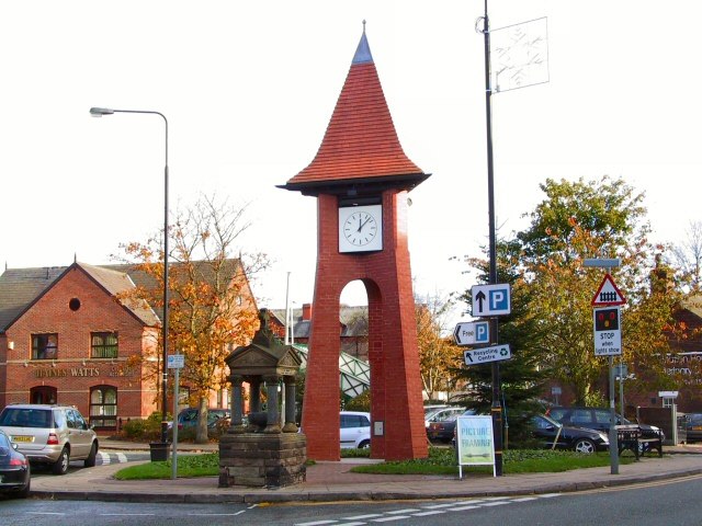
Photo: Roger May, CC BY-SA 2.0.
Altrincham is a town in Greater Manchester in the northwest of England. It was a small market town until the 18th century, then industrialised with the coming of the Bridgewater Canal and later the railway. Hale is situated 3 miles north of Barnshaw Smithy.
Altrincham

Photo: rich-image, CC BY-SA 2.0.
Altrincham is a town in Greater Manchester in the northwest of England. It was a small market town until the 18th century, then industrialised with the coming of the Bridgewater Canal and later the railway.
Barnshaw Smithy
- Type: Café
- Category: building
- Location: Mobberley, Cheshire East, England, United Kingdom, Britain and Ireland, Europe
- View on OpenStreetMap
Latitude
53.33543° or 53° 20′ 8″ northLongitude
-2.33475° or 2° 20′ 5″ westOpen location code
9C5V8MP8+53OpenStreetMap ID
way 1137663859OpenStreetMap feature
amenity=cafeOpenStreetMap feature
building=yes
This page is based on OpenStreetMap, Wikidata, and Wikimedia Commons.
We’d love your help improving our open data sources. Thank you for contributing.
Satellite Map
Discover Barnshaw Smithy from above in high-definition satellite imagery.
Notable Places Nearby
Highlights include Mobberley and Hanging Bank.
Nearby Places
Explore places such as Mobberley, Small Lane / Pepper Street and Mobberley, Pepper Street / Smith Lane.
England: Must-Visit Destinations
Delve into London, Manchester, Sheffield, and Leeds.
Curious Cafés to Discover
Uncover intriguing cafés from every corner of the globe.
About Mapcarta. Data © OpenStreetMap contributors and available under the Open Database License". Text is available under the CC BY-SA 4.0 license, except for photos, directions, and the map. Photo: sidibousaid, CC BY 2.0.