farm barn
farm barn is a building in Godmanchester, Huntingdonshire, England. farm barn is situated nearby to the house Farm Hall, as well as near the river Godmanchester Lock Great Ouse.| Tap on a place to explore it |
Places of Interest Nearby
Highlights include Godmanchester Town Hall and Farm Hall.
Godmanchester Town Hall
Town hall

Photo: Alan Murray-Rust, CC BY-SA 2.0.
Godmanchester Town Hall is a municipal building in The Causeway, Godmanchester, Cambridgeshire, England. The town hall, which was the meeting place of Godmanchester Borough Council, is a Grade II listed building. Godmanchester Town Hall is situated 2,900 feet northeast of farm barn.
Farm Hall
House

Photo: Wikimedia, Public domain.
Farm Hall is a house, which is situated 1,400 feet northeast of farm barn.
Huntingdon Castle
Castle

Photo: Duncan Grey, CC BY-SA 2.0.
Huntingdon Castle was situated in the town of Huntingdon in Cambridgeshire. Huntingdon Castle is situated 1 mile north of farm barn.
Places in the Area
Nearby places include Godmanchester and Huntingdon.
Godmanchester
Town
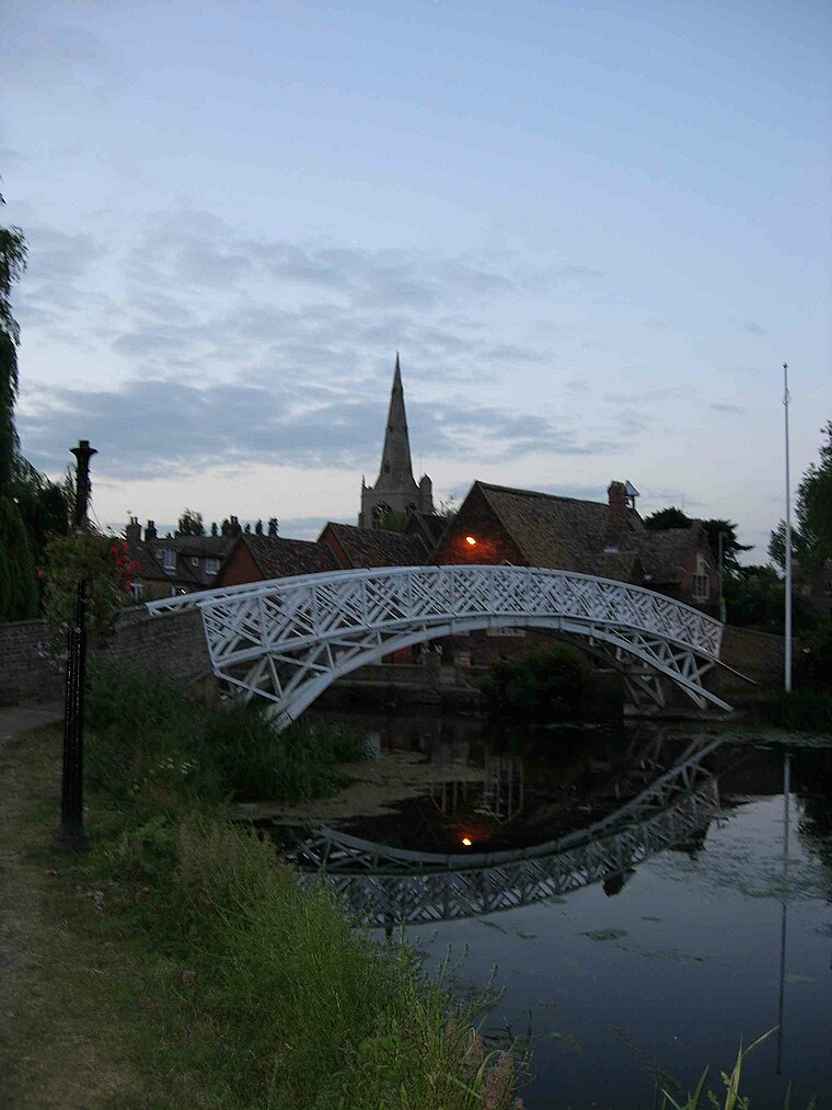
Photo: Wikimedia, Public domain.
Godmanchester is a town and civil parish in the Huntingdonshire district of Cambridgeshire, England. It is separated from Huntingdon, 1 mile to the north, by the valley of the River Great Ouse.
Huntingdon
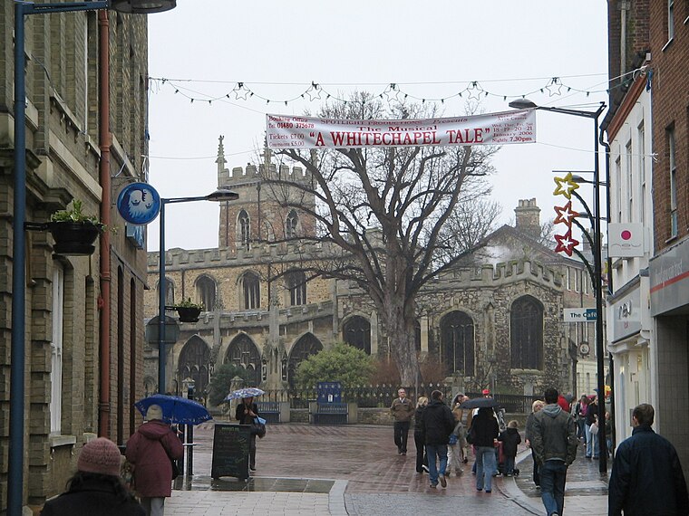
Photo: Wikimedia, Public domain.
Huntingdon is a sleepy historic town in Cambridgeshire, England, on the banks of the River Ouse, best known as the birthplace of English Civil War leader Oliver Cromwell.
Hartford
Village

Photo: John Webber, CC BY-SA 2.0.
Hartford is a village in the suburb of Huntingdon and former civil parish, now in the parish of Huntingdon, in Cambridgeshire, England. Historically part of Huntingdonshire, it is not far west of Wyton. Hartford is situated 2 miles northeast of farm barn.
farm barn
- Type: Building
- Location: Godmanchester, Huntingdonshire, Cambridgeshire, England, United Kingdom, Britain and Ireland, Europe
- View on OpenStreetMap
Latitude
52.31365° or 52° 18′ 49″ northLongitude
-0.18455° or 0° 11′ 4″ westOpen location code
9C4X8R78+F5OpenStreetMap ID
way 115250684OpenStreetMap feature
building=barn
This page is based on OpenStreetMap, Wikidata, and Wikimedia Commons.
We’d love your help improving our open data sources. Thank you for contributing.
Satellite Map
Discover farm barn from above in high-definition satellite imagery.
Places with the Same Name
Discover other places named “farm barn”.
Notable Places Nearby
Highlights include Godmanchester Lock Great Ouse and SIS WW2 obelisk.
Nearby Places
Explore places such as farm shed and Godmanchester Lock.
England: Must-Visit Destinations
Delve into London, Manchester, Sheffield, and Leeds.
Curious Buildings to Discover
Uncover intriguing buildings from every corner of the globe.
About Mapcarta. Data © OpenStreetMap contributors and available under the Open Database License". Text is available under the CC BY-SA 4.0 license, except for photos, directions, and the map. Photo: sidibousaid, CC BY 2.0.