Green Moles
Green Moles is an industrial building in Mesógi, Paphos district. Green Moles is situated nearby to the government office Road Transport Department, as well as near Fikardos Winery.| Tap on a place to explore it |
Places of Interest Nearby
Highlights include Panagia Chryseleousa, Emba and Church of Apostolos Andreas, Emba, Paphos.
Panagia Chryseleousa, Emba
Church

Photo: Chris06, CC BY-SA 4.0.
Panagia Chryseleousa, Emba is a church, which is situated 1½ km west of Green Moles.
Church of Apostolos Andreas, Emba, Paphos
Church

Photo: Chris06, CC BY-SA 4.0.
Church of Apostolos Andreas, Emba, Paphos is situated 1½ km west of Green Moles.
International School of Paphos
School
The International School of Paphos was founded by Theodoros Aristodemou in 1987 as a co-educational day school located in Paphos, Cyprus. It is currently a day school situated in Anavargos Village, on the outskirts of Paphos. International School of Paphos is situated 1¼ km southeast of Green Moles.
Places in the Area
Nearby places include Tremithousa and Empa.
Tremithousa
Village
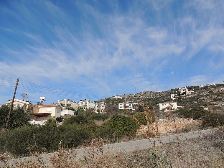
Photo: greglaskiewicz, CC BY 3.0.
Tremithousa is a village in the Paphos District of Cyprus, located 7 km north of Paphos. Tremithousa is located 294 m above sea level. Tremithousa is located near Mesa Chorio and Mesogi Village.
Empa
Town

Photo: rene boulay, CC BY-SA 3.0.
Empa is one of the largest villages in Paphos, Cyprus. It is spread over a wide area and not only borders Paphos but also the villages of Chlorakas, Kissonerga, Tala, Tremithousa and Mesogi. It has a population of more than 4,000 people.
Mesogi
Village
Mesogi is a village in the Paphos District of Cyprus, located 5 km north of Paphos. It is located 306 m above sea level. It receives approximately 540 millimetres of rainfall annually.
Green Moles
- Type: Industrial building
- Categories: building and industry
- Location: Mesógi, Paphos district, Cyprus, Middle East, Asia
- View on OpenStreetMap
Latitude
34.80784° or 34° 48′ 28″ northLongitude
32.44019° or 32° 26′ 25″ eastOpen location code
8G6JRC5R+43OpenStreetMap ID
way 1161607732OpenStreetMap feature
building=industrial
This page is based on OpenStreetMap, Wikidata, and Wikimedia Commons.
We’d love your help improving our open data sources. Thank you for contributing.
Satellite Map
Discover Green Moles from above in high-definition satellite imagery.
Notable Places Nearby
Highlights include Road Transport Department and Fikardos Winery.
Nearby Places
Explore places such as Green Moles Ltd and Argiris Sofroniou&sons Ltd.
Paphos district: Must-Visit Destinations
Delve into Paphos, Tala, and Avakas Gorge.
Curious Industrial Buildings to Discover
Uncover intriguing industrial buildings from every corner of the globe.
About Mapcarta. Data © OpenStreetMap contributors and available under the Open Database License". Text is available under the CC BY-SA 4.0 license, except for photos, directions, and the map. Photo: Wikimedia, CC0.