Prato del Quercione
Prato del Quercione is a grassland in Tuscany, Central Italy. Prato del Quercione is situated nearby to the park Ex Giardino Zoologico, as well as near Parco delle Cascine.| Tap on a place to explore it |
Places of Interest Nearby
Highlights include Parco delle Cascine and Palazzina Reale delle Cascine.
Parco delle Cascine
Park
 The Parco delle Cascine is a monumental and historical park in the city of Florence. The park covers an area of 160 hectares. It has the shape of a long and narrow stripe, on the north bank of the Arno river.
Palazzina Reale delle Cascine
Historic building
 The Palazzina Reale delle Cascine is a small Neoclassical palace sited on the Piazzale delle Cascine within the public park located along the north bank of the Arno river just north of central Florence, Italy. Palazzina Reale delle Cascine is situated 460 metres east of Prato del Quercione.
School of aerial warfare
Military installation

Photo: Fernando.tassone, CC BY-SA 4.0.
School of aerial warfare is a military installation, which is situated 320 metres north of Prato del Quercione.
Places in the Area
Nearby places include Isolotto and Peretola.
Peretola
Suburb

Photo: Sailko, CC BY-SA 3.0.
Peretola is a suburb of Florence, Italy, located on the northern extremity of the Florentine commune. It belongs administratively to Quartiere 5 - Rifredi.

Prato del Quercione
- Type: Grassland
- Location: Tuscany, Central Italy, Italy, Europe
- View on OpenStreetMap
Latitude
43.78417° or 43° 47′ 3″ northLongitude
11.21469° or 11° 12′ 53″ eastOpen location code
8FMHQ6M7+MVOpenStreetMap ID
way 116482011OpenStreetMap feature
landuse=grass
This page is based on OpenStreetMap, Wikidata, and Wikimedia Commons.
We’d love your help improving our open data sources. Thank you for contributing.
Satellite Map
Discover Prato del Quercione from above in high-definition satellite imagery.
Notable Places Nearby
Highlights include Ex Giardino Zoologico and Palazzina Italia.
Nearby Places
Explore places such as Edificio di Termodinamica ed Aerodinamica and Cascine.
Tuscany: Must-Visit Destinations
Delve into Florence, Pisa, Siena, and Livorno.
Curious Grasslands to Discover
Uncover intriguing grasslands from every corner of the globe.
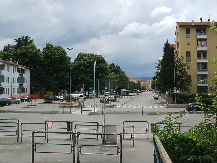
About Mapcarta. Data © OpenStreetMap contributors and available under the Open Database License". Text is available under the CC BY-SA 4.0 license, except for photos, directions, and the map. Photo: Massimo Telò, CC BY-SA 3.0.