Säters Södra Industriområde
Säters Södra Industriområde is in Säter Municipality, Dalarna. Säters Södra Industriområde is situated nearby to the motorhome stopover Kullsvedens Ställplats, as well as near the peak Jätteklacken.| Tap on a place to explore it |
Places of Interest Nearby
Highlights include Biografmuseet and Säter station.
Biografmuseet
Museum

Photo: Holger.Ellgaard, CC BY-SA 3.0.
Biografmuseet is a museum, which is situated 1½ km west of Säters Södra Industriområde.
Säter station
Railway station
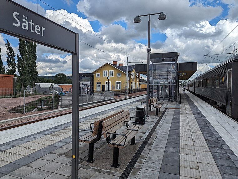
Photo: AleWi, CC BY-SA 4.0.
Säter station is a railway station, which is situated 1½ km west of Säters Södra Industriområde.
Åsgårdarna
Museum

Photo: Vivo, CC BY-SA 4.0.
Åsgårdarna is a museum, which is situated 2 km west of Säters Södra Industriområde.
Places in the Area
Nearby places include Bispberg and Säter.

Säter
Town

Photo: Vivo, CC BY-SA 4.0.
Säter is a locality and the seat of Säter Municipality, Dalarna County, Sweden, with 11,161 inhabitants in 2020. Säter is, despite its small population, for historical reasons normally still referred to as a city.
Vikmanshyttan
Village
 Vikmanshyttan is a locality situated in Hedemora Municipality, Dalarna County, Sweden with 843 inhabitants in 2010. On site the Steelworks Museum of Vikmanshyttan is maintained as a museum of regional industrial history. Vikmanshyttan is situated 5 km southeast of Säters Södra Industriområde.
Säters Södra Industriområde
- Type: Industry
- Location: Säter Municipality, Dalarna, Svealand, Sweden, Nordic countries, Europe
- View on OpenStreetMap
Latitude
60.34185° or 60° 20′ 31″ northLongitude
15.7876° or 15° 47′ 15″ eastOpen location code
9FGQ8QRQ+P2OpenStreetMap ID
way 116896315OpenStreetMap feature
landuse=industrial
This page is based on OpenStreetMap, Wikidata, and Wikimedia Commons.
We’d love your help improving our open data sources. Thank you for contributing.
Satellite Map
Discover Säters Södra Industriområde from above in high-definition satellite imagery.
Notable Places Nearby
Highlights include Kullsvedens Ställplats and Jätteklacken.
Nearby Places
Explore places such as Järudds Bil and Djupdalarna Motions & Vandringsleder.
Dalarna: Must-Visit Destinations
Delve into Falun, Borlänge, Mora, and Ludvika.
Curious Places to Discover
Uncover intriguing places from every corner of the globe.
About Mapcarta. Data © OpenStreetMap contributors and available under the Open Database License". Text is available under the CC BY-SA 4.0 license, except for photos, directions, and the map. Photo: Pbsouthwood, Public domain.