befristete Containeranlage
befristete Containeranlage is in Mainz, Rhenish Hesse, Rhineland-Palatinate. befristete Containeranlage is situated nearby to the cemetery Friedhof Finthen, as well as near the riding hall Finthener Reit- und Fahrverein e.V..| Tap on a place to explore it |
Places of Interest Nearby
Highlights include Höllenberg and Stolperstein dedicated to Leopold Marx.

Stolperstein dedicated to Leopold Marx
Memorial

Photo: Wikimedia, CC BY-SA 4.0.
Stolperstein dedicated to Leopold Marx is a memorial, which is situated 780 metres southeast of befristete Containeranlage.
Stolperstein dedicated to Ella Marx
Memorial

Photo: Wikimedia, CC BY-SA 4.0.
Stolperstein dedicated to Ella Marx is a memorial, which is situated 780 metres southeast of befristete Containeranlage.
Places in the Area
Nearby places include Drais and Uhlerborn.
Drais
Village
Mainz-Drais is a borough in the western part of Mainz. The village was suburbanised by the City of Mainz in 1969, and is now its smallest subdivision, with just over 3,000 permanent residents.
Uhlerborn
Village
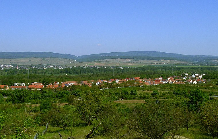
Photo: Uhlerborner, Public domain.
Uhlerborn is a village, which is situated 2½ km northwest of befristete Containeranlage.
Wackernheim
Village
Wackernheim is a former Ortsgemeinde – a municipality belonging to a Verbandsgemeinde, a kind of collective municipality – in the Mainz-Bingen district in Rhineland-Palatinate, Germany. Wackernheim is situated 3½ km west of befristete Containeranlage.
befristete Containeranlage
- Type: Construction
- Location: Mainz, Rhenish Hesse, Rhineland-Palatinate, Germany, Central Europe, Europe
- View on OpenStreetMap
Latitude
49.98826° or 49° 59′ 18″ northLongitude
8.16569° or 8° 9′ 57″ eastOpen location code
8FXCX5Q8+87OpenStreetMap ID
way 1175256861OpenStreetMap feature
landuse=construction
This page is based on OpenStreetMap, Wikidata, and Wikimedia Commons.
We’d love your help improving our open data sources. Thank you for contributing.
Satellite Map
Discover befristete Containeranlage from above in high-definition satellite imagery.
Notable Places Nearby
Highlights include Friedhof Finthen and Finthener Reit- und Fahrverein e.V..
Nearby Places
Explore places such as Peter-Härtling-Schule and befristete Containeranlage.
Rhenish Hesse: Must-Visit Destinations
Delve into Worms, Bingen, Ingelheim, and Oppenheim.
Curious Places to Discover
Uncover intriguing places from every corner of the globe.
About Mapcarta. Data © OpenStreetMap contributors and available under the Open Database License". Text is available under the CC BY-SA 4.0 license, except for photos, directions, and the map. Photo: Traveler100, CC BY-SA 4.0.