Cabañas Los Acantilados
Cabañas Los Acantilados is a chalet in Confluencia Department, Neuquén Province which is located on Barrio 1. Cabañas Los Acantilados is situated nearby to the scenic viewpoint Mirador de Aves, as well as near the park Rotonda El Chocón.| Tap on a place to explore it |
Places of Interest Nearby
Highlights include Ernesto Bachmann Paleontological Museum and El Chocón Dam.
Ernesto Bachmann Paleontological Museum
Museum

Photo: Horacio Fernandez, CC BY 3.0.
The Ernesto Bachmann Paleontological Museum in Villa El Chocón, Neuquén Province, Argentina, is a municipal museum dedicated to the paleontology, archaeology and history of Villa El Chocón and its surroundings. Ernesto Bachmann Paleontological Museum is situated 510 metres northwest of Cabañas Los Acantilados.
El Chocón Dam
Power station

Photo: Aibdescalzo, Public domain.
The El Chocón Dam is one of the most iconic engineering works in Patagonia and the Argentine Republic. Located on the Limay River, in the northwestern region of Patagonia known as Comahue, it is 381 meters above sea level and approximately 80 kilometers upstream from the confluence of the Limay and Neuquén Rivers. El Chocón Dam is situated 2 km east of Cabañas Los Acantilados.
Places in the Area
Nearby places include Villa El Chocón and El Chocón.
Villa El Chocón
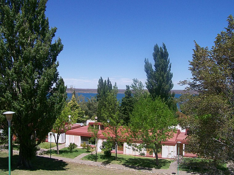
Photo: Wikimedia, CC BY-SA 4.0.
Villa El Chocón is a small town in Neuquén province in Argentina. It is located on the shores of the Ramos Mexia reservoir and has about 4,000 inhabitants.
El Chocón
Village
Villa El Chocón Cerros Colorados is a village and municipality in Neuquén Province in southwestern Argentina. The village was initially created to house the workmen building the Ezequiel Ramos Mexía dam on the Limay River. El Chocón is situated 4 km west of Cabañas Los Acantilados.
Cabañas Los Acantilados
- Type: Chalet
- Address: Barrio 1, Villa El Chocón, Q8311
- Categories: tourism, accommodation, and building
- Location: Confluencia Department, Neuquén Province, Argentina, South America
- View on OpenStreetMap
Latitude
-39.26403° or 39° 15′ 51″ southLongitude
-68.77981° or 68° 46′ 47″ westOpen location code
47GHP6PC+93OpenStreetMap ID
way 1182622574OpenStreetMap feature
tourism=chalet
This page is based on OpenStreetMap, Wikidata, and Wikimedia Commons.
We’d love your help improving our open data sources. Thank you for contributing.
Satellite Map
Discover Cabañas Los Acantilados from above in high-definition satellite imagery.
Notable Places Nearby
Highlights include Mirador de Aves and Rotonda El Chocón.
Nearby Places
Explore places such as Cabañas Alen Luz de Luna and Casa 211A.
Argentina: Must-Visit Destinations
Delve into Buenos Aires, Misiones, Aconcagua, and Rosario.
Curious Chalets to Discover
Uncover intriguing chalets from every corner of the globe.
About Mapcarta. Data © OpenStreetMap contributors and available under the Open Database License". Text is available under the CC BY-SA 4.0 license, except for photos, directions, and the map. Photo: Wikimedia, CC0.