Friendship Park
Friendship Park is a park in Clinton, Michigan. Friendship Park is situated nearby to Duplain Methodist Church, as well as near the museum Rochester Colony Schoolhouse.| Tap on a place to explore it |
Places in the Area
Nearby places include Elsie and Saint Johns.
Elsie
Village
Elsie is a village in Clinton County in the U.S. state of Michigan. The population was 966 at the 2010 census. The village consists of two noncontiguous portions within Duplain Township in the northeast portion of Clinton County—the smaller of which contains the village's Riverside Cemetery. Elsie is situated 4½ miles northeast of Friendship Park.
Saint Johns
Town
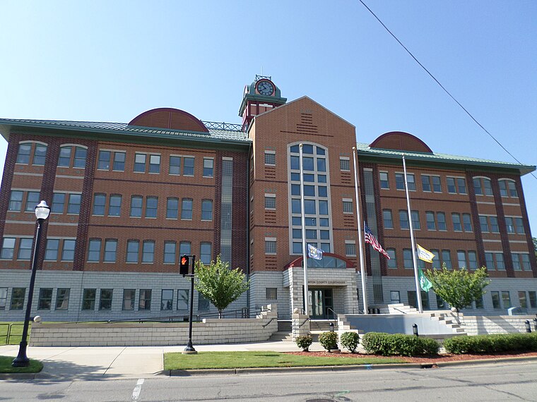
Photo: kennethaw88, CC BY 4.0.
St. Johns or Saint Johns is the largest city in and the county seat of Clinton County in the U.S. state of Michigan. The population was 7,698 at the 2020 census. Saint Johns is situated 6 miles southwest of Friendship Park.
Friendship Park
- Type: Park
- Category: recreation area
- Location: Clinton, Michigan, Midwest, United States, North America
- View on OpenStreetMap
Latitude
43.04693° or 43° 2′ 49″ northLongitude
-84.45479° or 84° 27′ 17″ westOperator
Duplain TownshipOpen location code
86MQ2GWW+Q3OpenStreetMap ID
way 1186032648OpenStreetMap feature
leisure=park
This page is based on OpenStreetMap, Wikidata, and Wikimedia Commons.
We’d love your help improving our open data sources. Thank you for contributing.
Satellite Map
Discover Friendship Park from above in high-definition satellite imagery.
Places with the Same Name
Discover other places named “Friendship Park”.
Notable Places Nearby
Highlights include Duplain Methodist Church and Rochester Colony Schoolhouse.
Nearby Places
Explore places such as Rochester Colony Historical Marker and Ovid-Elsie High School.
Michigan: Must-Visit Destinations
Delve into Detroit, Ann Arbor, Lansing, and Grand Rapids.
Curious Parks to Discover
Uncover intriguing parks from every corner of the globe.
About Mapcarta. Data © OpenStreetMap contributors and available under the Open Database License". Text is available under the CC BY-SA 4.0 license, except for photos, directions, and the map. Photo: Wikimedia, CC0.