Projet Pietra
Projet Pietra is in Plaisir, Arrondissement of Versailles, Île-de-France. Projet Pietra is situated nearby to the park Square de la Croix du Sud, as well as near the railway station Gare de Plaisir Grignon.| Tap on a place to explore it |
Places of Interest Nearby
Highlights include Gare de Plaisir - Grignon and Gare de Plaisir - Les Clayes.
Gare de Plaisir - Grignon
Railway station

Photo: Henrysalome, CC BY-SA 3.0.
Gare de Plaisir - Grignon is a railway station, which is situated 250 metres northeast of Projet Pietra.
Gare de Plaisir - Les Clayes
Railway station

Photo: Henrysalome, CC BY-SA 3.0.
Gare de Plaisir - Les Clayes is a railway station, which is situated 1¼ km east of Projet Pietra.
Château de Grignon
Castle

Photo: Laulobou, CC BY-SA 3.0.
Château de Grignon is a castle, which is situated 2 km north of Projet Pietra.
Places in the Area
Nearby places include Les Clayes-sous-Bois and Neauphle-le-Château.
Les Clayes-sous-Bois
Town

Photo: Polymagou, CC BY-SA 4.0.
Les Clayes-sous-Bois is a commune in the Yvelines department in the Île-de-France region in north-central France. It is located in the western suburbs of Paris 26.7 km from the center. The Clayes-sous-Bois inhabitants are called "Clétiens". Les Clayes-sous-Bois is situated 3½ km east of Projet Pietra.
Neauphle-le-Château
Village
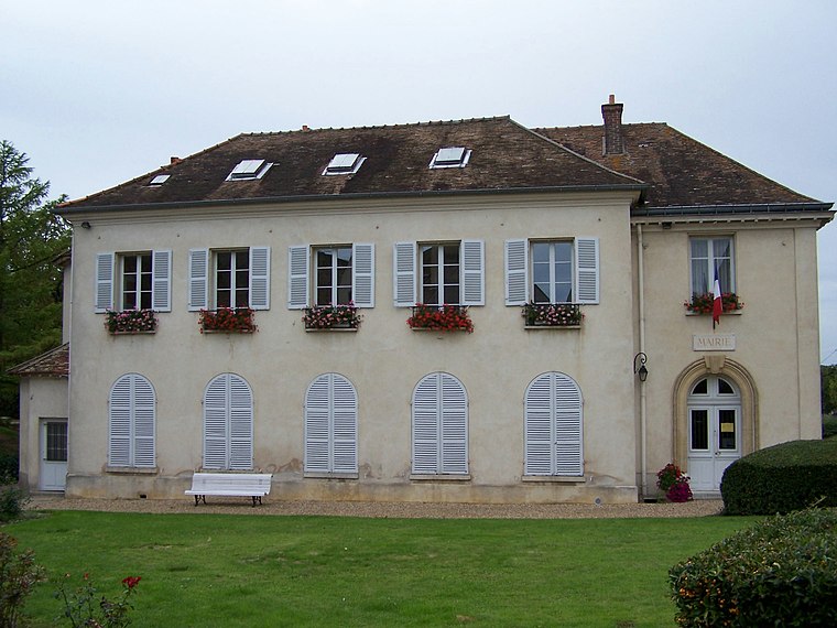
Photo: Henrysalome, CC BY-SA 3.0.
Neauphle-le-Château is a commune in the Yvelines department in the Île-de-France region in north-central France. Neauphle-le-Château is situated 3½ km southwest of Projet Pietra.
Villiers-Saint-Frédéric
Village

Photo: Wikimedia, CC BY-SA 3.0.
Villiers-Saint-Frédéric is a commune in the Yvelines department in the Île-de-France region in north-central France. It is known for having one of the largest Renault factories in France, where they produce tools and design new fittings for the vehicles. Villiers-Saint-Frédéric is situated 4 km west of Projet Pietra.
Projet Pietra
- Type: Construction
- Location: Plaisir, Arrondissement of Versailles, Yvelines, Île-de-France, France, Europe
- View on OpenStreetMap
Latitude
48.83011° or 48° 49′ 48″ northLongitude
1.94156° or 1° 56′ 30″ eastOperator
3FOpen location code
8FW3RWJR+2JOpenStreetMap ID
way 1187561088OpenStreetMap feature
landuse=construction
This page is based on OpenStreetMap, Wikidata, and Wikimedia Commons.
We’d love your help improving our open data sources. Thank you for contributing.
Satellite Map
Discover Projet Pietra from above in high-definition satellite imagery.
Notable Places Nearby
Highlights include Square de la Croix du Sud and Gare de Plaisir Grignon.
Nearby Places
Explore places such as Doc smile and Hillion.
Île-de-France: Must-Visit Destinations
Delve into Paris, Versailles, Boulogne-Billancourt, and Paris Charles de Gaulle Airport.
Curious Places to Discover
Uncover intriguing places from every corner of the globe.
About Mapcarta. Data © OpenStreetMap contributors and available under the Open Database License". Text is available under the CC BY-SA 4.0 license, except for photos, directions, and the map. Photo: Inkey, CC BY-SA 3.0.