Hills of Westbrook
Hills of Westbrook is a residential area in Charter Township of Garfield, Grand Traverse, Michigan. Hills of Westbrook is situated nearby to Traverse City West Senior High School, as well as near North Twin Lake.| Tap on a place to explore it |
Places of Interest Nearby
Highlights include Traverse City West Senior High School and Munson Medical Center heliport.
Traverse City West Senior High School
School

Photo: Phoenix-Five, CC BY-SA 4.0.
Traverse City West Senior High School is a public, co-educational secondary school located outside Traverse City, Michigan, in neighboring Garfield Township. Traverse City West Senior High School is situated 2,900 feet southeast of Hills of Westbrook.
Munson Medical Center heliport
Helipad

Photo: Gpwitteveen, CC BY-SA 3.0.
Munson Medical Center heliport is a helipad, which is situated 2½ miles east of Hills of Westbrook.
Places in the Area
Nearby places include Central Neighborhood Historic District and Greilickville.
Central Neighborhood Historic District
Quarter
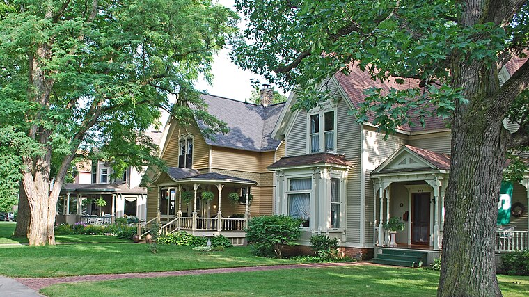
Photo: Andrew Jameson, CC BY-SA 3.0.
The Central Neighborhood Historic District is a residential historic district, roughly bounded by 5th, Union, 9th, and Division Streets in Traverse City, Michigan. Central Neighborhood Historic District is situated 3 miles east of Hills of Westbrook.
Greilickville
Village

Photo: Royalbroil, CC BY-SA 3.0.
Greilickville is an unincorporated community and census-designated place in Leelanau County in the U.S. state of Michigan. At the 2020 census, the population was 1,634, up from 1,530 at the 2010 census. Greilickville is situated 3½ miles northeast of Hills of Westbrook.
Long Lake Township
Village
Long Lake Township, officially the Charter Township of Long Lake, is a charter township of Grand Traverse County in the U.S. state of Michigan. The population was 9,956 at the 2020 census, an increase from 8,662 at the 2010 census. Long Lake Township is situated 3½ miles southwest of Hills of Westbrook.
Hills of Westbrook
Latitude
44.75514° or 44° 45′ 19″ northLongitude
-85.6926° or 85° 41′ 33″ westOpen location code
86PPQ844+3XOpenStreetMap ID
way 1191648043OpenStreetMap feature
landuse=residential
This page is based on OpenStreetMap, Wikidata, and Wikimedia Commons.
We’d love your help improving our open data sources. Thank you for contributing.
Satellite Map
Discover Hills of Westbrook from above in high-definition satellite imagery.
Notable Places Nearby
Highlights include Northern Lakes Community Church and Spencer’s Pond.
Nearby Places
Explore places such as Black Bear Farms and Sports Lot.
Michigan: Must-Visit Destinations
Delve into Detroit, Ann Arbor, Lansing, and Grand Rapids.
Curious Residential Areas to Discover
Uncover intriguing residential areas from every corner of the globe.
About Mapcarta. Data © OpenStreetMap contributors and available under the Open Database License". Text is available under the CC BY-SA 4.0 license, except for photos, directions, and the map. Photo: Wikimedia, CC0.