L’Aire bleue
L’Aire bleue is a hospital building in La Rochelle, Charente-Maritime, Nouvelle-Aquitaine. L’Aire bleue is situated nearby to the sports venue Gymnase enfants, as well as near Gymnase adultes.| Tap on a place to explore it |
Places of Interest Nearby
Highlights include La Rochelle-Porte Dauphine and Muséum d’Histoire naturelle de La Rochelle.
La Rochelle-Porte Dauphine
Railway station

Photo: Stuartes, CC BY-SA 3.0.
La Rochelle-Porte Dauphine is a railway station, which is situated 1¼ km southwest of L’Aire bleue.
Muséum d’Histoire naturelle de La Rochelle
Museum

Photo: Tux-Man, Public domain.
The Muséum d'histoire naturelle de La Rochelle is a natural history museum located in the city of La Rochelle, France. The building is listed as a historic monument by order of October 27, 2003. Muséum d’Histoire naturelle de La Rochelle is situated 1½ km southwest of L’Aire bleue.
Musée du Nouveau Monde
Museum
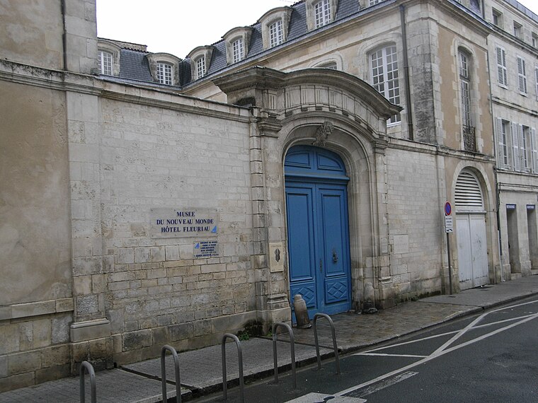
Photo: Tux-Man, Public domain.
Musée du Nouveau Monde is a museum, which is situated 2 km southwest of L’Aire bleue.
Places in the Area
Nearby places include Saint-Xandre and Bourgneuf.
Saint-Xandre
Village

Photo: Jpbazard, CC BY-SA 3.0.
Saint-Xandre is a commune in the Charente-Maritime department in southwestern France. Saint-Xandre is situated 4½ km northeast of L’Aire bleue.
Bourgneuf
Village

Photo: Bastien.pierre, CC BY-SA 3.0.
Bourgneuf is a commune in the Charente-Maritime in the department in the Nouvelle-Aquitaine region in southwestern France. General Adolphe Guillaumat was born in Bourgneuf. Bourgneuf is situated 9 km east of L’Aire bleue.
Sainte-Soulle
Village

Photo: Tux-Man, Public domain.
Sainte-Soulle is a commune in the Charente-Maritime department in the Nouvelle-Aquitaine region in southwestern France. Sainte-Soulle is situated 10 km east of L’Aire bleue.
L’Aire bleue
- Type: Hospital building
- Categories: building and health care
- Location: La Rochelle, Arrondissement of La Rochelle, Charente-Maritime, Nouvelle-Aquitaine, France, Europe
- View on OpenStreetMap
Latitude
46.17498° or 46° 10′ 30″ northLongitude
-1.13776° or 1° 8′ 16″ westOpen location code
8CRW5VF6+XVOpenStreetMap ID
way 119814141OpenStreetMap feature
building=hospital
This page is based on OpenStreetMap, Wikidata, and Wikimedia Commons.
We’d love your help improving our open data sources. Thank you for contributing.
Satellite Map
Discover L’Aire bleue from above in high-definition satellite imagery.
Notable Places Nearby
Highlights include Gymnase enfants and Gymnase adultes.
Nearby Places
Explore places such as Association culturelle sport et plein-air and Marchand.
Charente-Maritime: Must-Visit Destinations
Delve into Royan, Saintes, and La Tremblade.
Curious Places to Discover
Uncover intriguing places from every corner of the globe.
About Mapcarta. Data © OpenStreetMap contributors and available under the Open Database License". Text is available under the CC BY-SA 4.0 license, except for photos, directions, and the map. Photo: Manchot, CC BY-SA 2.5.