ОГБПОУ СОТА
ОГБПОУ СОТА is an university in Smolensk Oblast, Central Russia. ОГБПОУ СОТА is situated nearby to the church Собор Спаса Преображения, as well as near Avraamiev Monastery.| Tap on a place to explore it |
Places of Interest Nearby
Highlights include Avraamiev Monastery and Avraamievskaya Tower.
Avraamiev Monastery
Monastery

Photo: Stauffenberg, CC BY 3.0.
Avraamiev Monastery is situated 140 metres east of ОГБПОУ СОТА.
Avraamievskaya Tower

Photo: Vsatinet, CC BY-SA 4.0.
Avraamievskaya Tower is situated 250 metres east of ОГБПОУ СОТА.
Dolgochevskaya Tower

Photo: Gandvik, CC BY-SA 3.0.
Dolgochevskaya Tower is situated 260 metres south of ОГБПОУ СОТА.
Places in the Area
Nearby places include Smolensk and Новосельцы.
Smolensk

Photo: Николай Смолянкин, CC BY-SA 4.0.
Smolensk is a city and the administrative center of Smolensk Oblast, Russia, located on the Dnieper River, 360 kilometers west-southwest of Moscow. It has a population of 316,570 .
Magalinshchina
Village
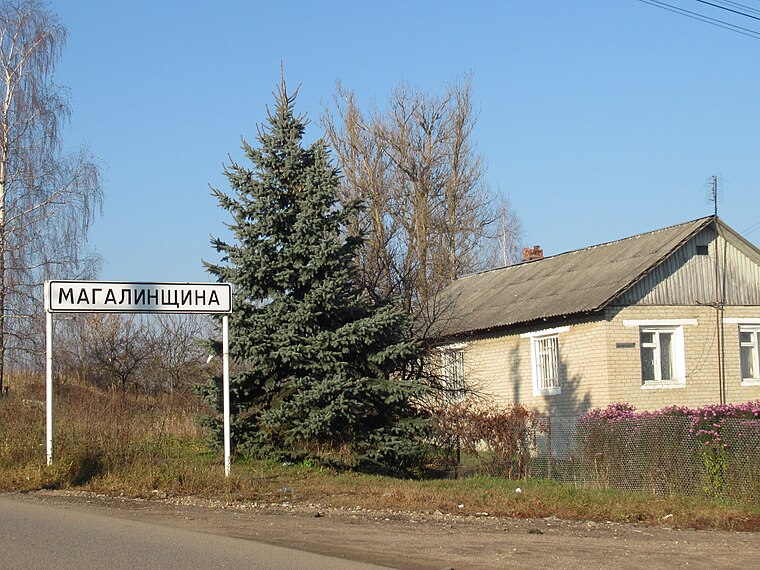
Photo: Lumaca, CC BY-SA 4.0.
Magalinshchina is a village, which is situated 5 km northeast of ОГБПОУ СОТА.
ОГБПОУ СОТА
- Type: University
- Category: education
- Location: Smolensk Oblast, Central Russia, Russia, Eastern Europe, Europe
- View on OpenStreetMap
Latitude
54.78414° or 54° 47′ 3″ northLongitude
32.06147° or 32° 3′ 41″ eastOpen location code
9G6JQ3M6+MHOpenStreetMap ID
way 1207255573OpenStreetMap feature
amenity=universityOpenStreetMap feature
landuse=education
This page is based on OpenStreetMap, Wikidata, and Wikimedia Commons.
We’d love your help improving our open data sources. Thank you for contributing.
Satellite Map
Discover ОГБПОУ СОТА from above in high-definition satellite imagery.
Notable Places Nearby
Highlights include Собор Спаса Преображения and 132nd Command Intelligence Center GRU.
Nearby Places
Explore places such as Преподобный Авраамий Смоленский and Здание бывшей духовной семинарии.
Curious Places to Discover
Uncover intriguing places from every corner of the globe.
About Mapcarta. Data © OpenStreetMap contributors and available under the Open Database License". Text is available under the CC BY-SA 4.0 license, except for photos, directions, and the map. Photo: Kastey, CC BY-SA 3.0.