Fiddington Fields
Fiddington Fields is in Ashchurch Rural, Tewkesbury, England. Fiddington Fields is situated nearby to Tewkesbury School, as well as near Alderman Knight School.| Tap on a place to explore it |
Places of Interest Nearby
Highlights include Ashchurch for Tewkesbury railway station and Church of St Nicholas.
Ashchurch for Tewkesbury railway station
Railway station

Photo: John Lucas, CC BY-SA 2.0.
Ashchurch for Tewkesbury is a railway station on the main Bristol–Birmingham main line, serving the market town of Tewkesbury and the village of Ashchurch in Gloucestershire, England. Ashchurch for Tewkesbury railway station is situated 3,300 feet northeast of Fiddington Fields.
Church of St Nicholas
Church

Photo: Philip Halling, CC BY-SA 2.0.
Church of St Nicholas is situated 3,600 feet northeast of Fiddington Fields.
Tewkesbury School
School
Tewkesbury Academy is a secondary school in the English town of Tewkesbury in Gloucestershire. It has been an academy since 2012; in July 2023 its name was changed to reflect this. Since 2022 the head teacher has been Kathleen McGillycuddy. Tewkesbury School is situated 2,800 feet northwest of Fiddington Fields.
Places in the Area
Nearby places include Ashchurch and Walton Cardiff.
Ashchurch
Suburb
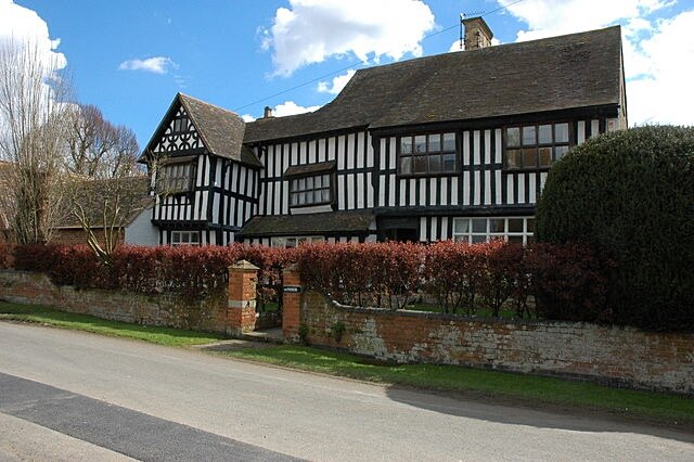
Photo: Philip Halling, CC BY-SA 2.0.
Ashchurch is a village and former civil parish, now in the parish of Ashchurch Rural, in the Tewkesbury district, in the county of Gloucestershire, England, 2 miles east of the town of Tewkesbury, 11 mi southwest of Evesham, 10 mi north of Cheltenham, 13 mi north-north-east of Gloucester and 10 mi south of Pershore.
Walton Cardiff
Hamlet

Photo: Philip Halling, CC BY-SA 2.0.
Walton Cardiff is a village and former civil parish, now in the parish of Ashchurch Rural, in the Borough of Tewkesbury, in Gloucestershire, England. In 2001, the parish had a population of 1291.
Tewkesbury
 Tewkesbury is a small market town in north Gloucestershire, approximately 11 mi north of the city of Gloucester and 9 mi north of Cheltenham. It is renowned for its medieval streetscape and large number of timber framed buildings.
Fiddington Fields
Latitude
51.99182° or 51° 59′ 31″ northLongitude
-2.11761° or 2° 7′ 3″ westOperator
Persimmon HomesOpen location code
9C3VXVRJ+PXOpenStreetMap ID
way 1213742793OpenStreetMap feature
landuse=construction
This page is based on OpenStreetMap, Wikidata, and Wikimedia Commons.
We’d love your help improving our open data sources. Thank you for contributing.
Satellite Map
Discover Fiddington Fields from above in high-definition satellite imagery.
Notable Places Nearby
Highlights include Alderman Knight School and Ashchurch Village Hall.
Nearby Places
Explore places such as Dobbies Foodhall and Dobbies Resturant.
Gloucestershire: Must-Visit Destinations
Delve into Gloucester, Cheltenham, Cirencester, and Yate.
Curious Places to Discover
Uncover intriguing places from every corner of the globe.
About Mapcarta. Data © OpenStreetMap contributors and available under the Open Database License". Text is available under the CC BY-SA 4.0 license, except for photos, directions, and the map. Photo: Matthew Hartley, CC BY-SA 2.0.