Elton Park Care Home
Elton Park Care Home is a social service facility in England, United Kingdom which is located on Elton Park. Elton Park Care Home is situated nearby to Triangle Church, as well as near Chantry Park.| Tap on a place to explore it |
Places of Interest Nearby
Highlights include Portman Road and Chantry Park.
Portman Road
Stadium

Photo: Wikimedia, CC BY-SA 2.0.
Portman Road is a football stadium in Ipswich, Suffolk, England, which has been the home ground of Ipswich Town since 1884. The stadium has also hosted many England youth international matches, and one senior England friendly international match, against Croatia in 2003. Portman Road is situated 1 mile east of Elton Park Care Home.
Chantry Park
Park

Photo: Keith Evans, CC BY-SA 2.0.
Chantry Park is a park located west of Ipswich town centre, in the Ipswich district, in the county of Suffolk, England. It is the largest park in Ipswich and extends over 124 acres.
Ipswich Railway Station
Railway station

Photo: Geof Sheppard, CC BY-SA 4.0.
Ipswich railway station is on the Great Eastern Main Line in the East of England, serving the town of Ipswich, Suffolk. It is 68 miles 59 chains down the line from London Liverpool Street and, on the main line, it is situated between Manningtree to the south and Needham Market to the north. Ipswich Railway Station is situated 1¼ miles southeast of Elton Park Care Home.
Places in the Area
Nearby places include Westbourne and Chantry.
Westbourne
Suburb
Westbourne is a suburb of Ipswich, on the northwestern fringe of the town, in the Ipswich district, in the county of Suffolk, England. It borders the suburbs of Whitton and Castle Hill to the east and the villages of Bramford and Sproughton to the west.
Chantry
Suburb
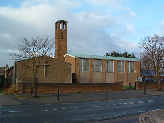
Photo: Keith Evans, CC BY-SA 2.0.
Chantry is a suburban residential area in the south west district of Ipswich, in the county of Suffolk, England. It lies west of Stoke. It has a population of over 30,000.
Sproughton
Village

Photo: Adrian Cable, CC BY-SA 2.0.
Sproughton is a village in Suffolk, England, just to the west of Ipswich and is in the Babergh administrative district. It has a church, a primary school, a pub, a community shop and various groups.
Elton Park Care Home
- Type: Social service facility
- Address: Elton Park, Ipswich, IP2 0DG
- Category: building
- Location: England, United Kingdom, Britain and Ireland, Europe
- View on OpenStreetMap
Latitude
52.05873° or 52° 3′ 31″ northLongitude
1.11987° or 1° 7′ 12″ eastOpen location code
9F433459+FWOpenStreetMap ID
way 1217122679OpenStreetMap feature
amenity=social_facilityOpenStreetMap feature
building=yes
This page is based on OpenStreetMap, Wikidata, and Wikimedia Commons.
We’d love your help improving our open data sources. Thank you for contributing.
Satellite Map
Discover Elton Park Care Home from above in high-definition satellite imagery.
Notable Places Nearby
Highlights include Triangle Church and Chantry Walled Garden.
Nearby Places
Explore places such as Hazeldell Residential Home and Former Geest building.
England: Must-Visit Destinations
Delve into London, Manchester, Sheffield, and Leeds.
Curious Social Service Facilities to Discover
Uncover intriguing social service facilities from every corner of the globe.
About Mapcarta. Data © OpenStreetMap contributors and available under the Open Database License". Text is available under the CC BY-SA 4.0 license, except for photos, directions, and the map. Photo: sidibousaid, CC BY 2.0.