Ke Křibům
Ke Křibům is a shelter in Zlín, South Moravia. Ke Křibům is situated nearby to the cemetery Lesní hřbitov, as well as near the peak Tlustá hora.| Tap on a place to explore it |
Places of Interest Nearby
Highlights include Lesní hřbitov and Tlustá hora.
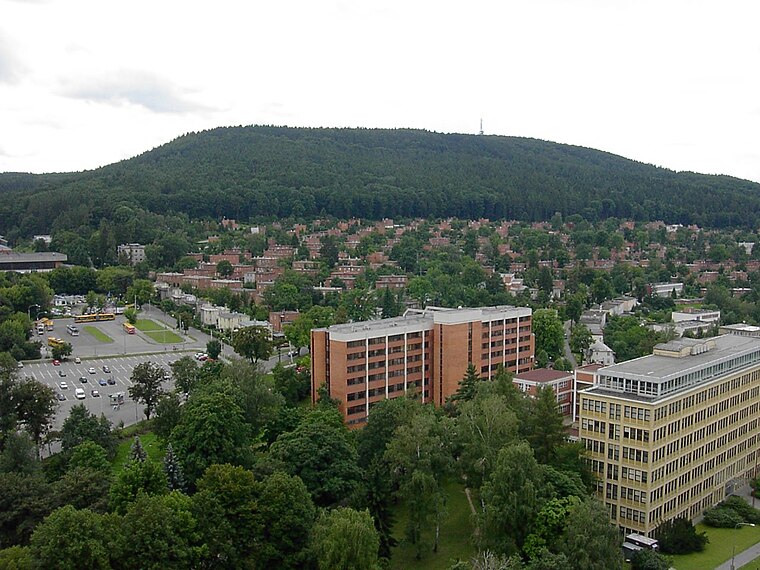
Lesní hřbitov
Cemetery

Photo: Czeva, CC BY-SA 3.0.
Lesní hřbitov is a cemetery, which is situated 700 metres southeast of Ke Křibům.
Trinity Bank Arena Luďka Čajky
Stadium

Photo: Pesos, CC BY-SA 3.0.
Trinity Bank Arena Luďka Čajky is an indoor sporting arena located in Zlín, Czech Republic. The capacity of the arena is 7,000 people and it was built in 1957. It is currently home to the PSG Berani Zlín ice hockey team. Trinity Bank Arena Luďka Čajky is situated 2 km north of Ke Křibům.
Places in the Area
Nearby places include Březnice and Kudlov.
Březnice
Village

Photo: Palickap, CC BY-SA 3.0.
Březnice is a municipality and village in Zlín District in the Zlín Region of the Czech Republic. It has about 1,500 inhabitants. Březnice lies approximately 6 kilometres south of Zlín and 254 km south-east of Prague.

Prštné
Suburb

Photo: Miďonek, CC BY-SA 3.0.
Prštné is a suburb, which is situated 2½ km northwest of Ke Křibům.
Ke Křibům
- Type: Shelter
- Category: building
- Location: Zlín, Zlín District, Zlín, South Moravia, Czech Republic, Central Europe, Europe
- View on OpenStreetMap
Latitude
49.20173° or 49° 12′ 6″ northLongitude
17.65498° or 17° 39′ 18″ eastOpen location code
8FXV6M23+MXOpenStreetMap ID
way 1218786941OpenStreetMap feature
amenity=shelterOpenStreetMap feature
building=yes
This page is based on OpenStreetMap, Wikidata, and Wikimedia Commons.
We’d love your help improving our open data sources. Thank you for contributing.
Satellite Map
Discover Ke Křibům from above in high-definition satellite imagery.
Notable Places Nearby
Highlights include Kabinet filmové historie and Filmový uzel Zlín.
Nearby Places
Explore places such as Ke Křibům and Stezka zdraví: Tlustá hora: Přístupová trasa D.
South Moravia: Must-Visit Destinations
Delve into Brno, Znojmo, Kroměříž, and Břeclav.
Curious Shelters to Discover
Uncover intriguing shelters from every corner of the globe.
About Mapcarta. Data © OpenStreetMap contributors and available under the Open Database License". Text is available under the CC BY-SA 4.0 license, except for photos, directions, and the map. Photo: Wikimedia, Public domain.