M11
M11 is a school building in Los Angeles, Southern California, California. M11 is situated nearby to the community center ONE Senior Center, as well as near Caballero Creek Park (Proposed).| Tap on a place to explore it |
Places of Interest Nearby
Highlights include Reseda station and St. Catherine of Siena Church and School.
Reseda station
Bus station

Photo: HanSangYoon, CC BY-SA 4.0.
Reseda station is a station on the G Line of the Los Angeles Metro Busway system. It is named after adjacent Reseda Boulevard, which travels north–south and crosses the east–west busway route. The station is in the Los Angeles neighborhood of Tarzana. Reseda station is situated 3,900 feet southwest of M11.
St. Catherine of Siena Church and School
Church

Photo: Cbl62, CC BY-SA 3.0.
St. Catherine of Siena is a Catholic church and elementary school located on Sherman Way in Reseda, California, in the city of Los Angeles. The parish, which is now more than 50 percent Latino, has a membership of more than 1,300 families. St. Catherine of Siena Church and School is situated 1 mile north of M11.
West Valley Regional Branch Library
Library

Photo: Entertainment Buff, Public domain.
West Valley Regional Branch Library is situated 1¼ miles west of M11.
Places in the Area
Nearby places include Reseda and Tarzana.
Reseda
Suburb
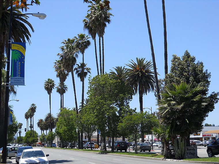
Photo: Entertainment Buff, Public domain.
Reseda is a neighborhood in the San Fernando Valley region of Los Angeles, California. It was founded in 1912, and its central business district started developing in 1915.
Tarzana
Suburb

Photo: Cbl62, CC BY-SA 3.0.
Tarzana is a neighborhood in the San Fernando Valley region of Los Angeles, California. Tarzana is on the site of a former ranch owned by author Edgar Rice Burroughs. It is named after Burroughs' fictional jungle hero, Tarzan.
Lake Balboa
Suburb

Photo: Busition, CC BY-SA 4.0.
Lake Balboa is a neighborhood in the San Fernando Valley region of Los Angeles, California. The area was previously part of Van Nuys. Lake Balboa is situated 1½ miles east of M11.
M11
- Type: School building
- Categories: building and education
- Location: Los Angeles, Southern California, California, United States, North America
- View on OpenStreetMap
Latitude
34.18924° or 34° 11′ 21″ northLongitude
-118.52872° or 118° 31′ 43″ westOpen location code
85635FQC+MGOpenStreetMap ID
way 1222751556OpenStreetMap feature
building=school
This page is based on OpenStreetMap, Wikidata, and Wikimedia Commons.
We’d love your help improving our open data sources. Thank you for contributing.
Satellite Map
Discover M11 from above in high-definition satellite imagery.
Places with the Same Name
Discover other places named “M11”.
Notable Places Nearby
Highlights include ONE Senior Center and Caballero Creek Park (Proposed).
Nearby Places
Explore places such as North Gym and breezeway.
Los Angeles: Must-Visit Destinations
Delve into Hollywood, San Gabriel Valley, San Fernando Valley, and Long Beach.
Curious Places to Discover
Uncover intriguing places from every corner of the globe.
About Mapcarta. Data © OpenStreetMap contributors and available under the Open Database License". Text is available under the CC BY-SA 4.0 license, except for photos, directions, and the map. Photo: Mfield, CC BY-SA 3.0.