Saxon Park
Saxon Park is a social service facility in Albrighton, Shropshire, England. Saxon Park is situated nearby to the church Saint Mary’s, as well as near Albrighton Village Park.| Tap on a place to explore it |
Places of Interest Nearby
Highlights include Albrighton railway station and RAF Cosford.
Albrighton railway station
Railway station

Photo: A Holmes, CC BY-SA 2.0.
Albrighton railway station is a railway station which serves the village of Albrighton in Shropshire, England. The former up goods yard is now occupied by a small estate of low rise offices. Albrighton railway station is situated 3,300 feet east of Saxon Park.
RAF Cosford
Aerodrome

Photo: John Chorley, CC BY-SA 2.0.
Royal Air Force Cosford or RAF Cosford is a Royal Air Force station near the village of Cosford, Shropshire, England just to the northwest of Wolverhampton and next to Albrighton.
Cosford railway station
Railway station
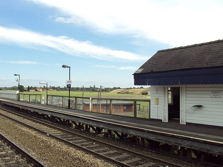
Photo: Rept0n1x, CC BY-SA 3.0.
Cosford railway station is a railway station which serves the village of Cosford in Shropshire, England. It also serves RAF Cosford which is also home to a branch of the Royal Air Force Museum. Cosford railway station is situated 1 mile northwest of Saxon Park.
Places in the Area
Nearby places include Albrighton and Boningale.
Albrighton
Village
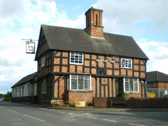
Photo: Richard Law, CC BY-SA 2.0.
Albrighton is a large village and civil parish in Shropshire, England, 8 miles northwest of Wolverhampton and 11 miles northeast of Bridgnorth. The village has a railway station on the Shrewsbury to Wolverhampton Line, and is near to RAF Cosford and the M54 motorway.
Boningale
Hamlet
Photo: Richard Law, CC BY-SA 2.0.
Boningale is a village and civil parish in Shropshire, England. The village lies just south of Albrighton, and just west of the county border with Staffordshire.
Tong
Village

Photo: Voice of Clam, Public domain.
Tong is a village and civil parish in Shropshire, also bordering Staffordshire in England. It is located between the towns of Shifnal, Newport and Brewood. Tong is situated 2 miles north of Saxon Park.
Saxon Park
Latitude
52.63614° or 52° 38′ 10″ northLongitude
-2.28348° or 2° 17′ 1″ westOpen location code
9C4VJPP8+FJOpenStreetMap ID
way 1223808983OpenStreetMap feature
amenity=social_facility
This page is based on OpenStreetMap, Wikidata, and Wikimedia Commons.
We’d love your help improving our open data sources. Thank you for contributing.
Satellite Map
Discover Saxon Park from above in high-definition satellite imagery.
Places with the Same Name
Discover other places named “Saxon Park”.
Notable Places Nearby
Highlights include Saint Mary’s and Albrighton Village Park.
Nearby Places
Explore places such as The Shrewsbury Arms and Shrewsbury Arms.
Shropshire: Must-Visit Destinations
Delve into Shrewsbury, Telford, Oswestry, and Ludlow.
Curious Social Service Facilities to Discover
Uncover intriguing social service facilities from every corner of the globe.
About Mapcarta. Data © OpenStreetMap contributors and available under the Open Database License". Text is available under the CC BY-SA 4.0 license, except for photos, directions, and the map. Photo: Victor Chetta, CC BY 2.0.