Ithan Barangay Hall
Ithan Barangay Hall is a town hall in Municipality of Binangonan, Rizal, Calabarzon. Ithan Barangay Hall is situated nearby to the government office Ithan Barangay Council, as well as near Kalinawan United Methodist Church.| Tap on a place to explore it |
- Type: Town hall
- Also known as: “Bahay Pamahalaan ng Barangay Ithan”
- Address: Ithan
Places in the Area
Nearby places include Binangonan and Layunan.
Binangonan
Town
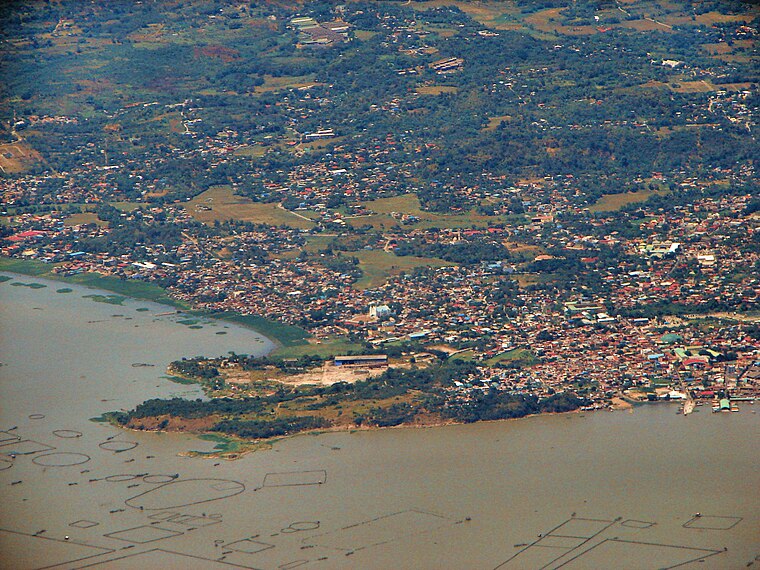
Photo: P199, CC BY-SA 3.0.
Binangonan, officially the Municipality of Binangonan, is a municipality in the province of Rizal, Philippines. According to the 2024 census, it has a population of 321,281 people. Binangonan is situated 4 km northwest of Ithan Barangay Hall.
Layunan
Quarter

Photo: Judgefloro, CC0.
Layunan, officially Barangay Layunan is one of the mainland barangays of Binangonan, in the province of Rizal. Its population as determined by the 2020 Census was 2,575. This represented 0.82% of the total population of Binangonan. Layunan is situated 4½ km northwest of Ithan Barangay Hall.
Cardona
Town

Photo: Ramon FVelasquez, CC BY-SA 3.0.
Cardona, officially the Municipality of Cardona, is a municipality in the province of Rizal, Philippines. According to the 2024 census, it has a population of 51,493 people. Cardona is situated 6 km north of Ithan Barangay Hall.
Ithan Barangay Hall
- Categories: building, public building, and government building
- Location: Municipality of Binangonan, Rizal, Calabarzon, Luzon, Philippines, Southeast Asia, Asia
- View on OpenStreetMap
Latitude
14.43227° or 14° 25′ 56″ northLongitude
121.2127° or 121° 12′ 46″ eastOpen location code
7Q63C6J7+W3OpenStreetMap ID
way 1225561138OpenStreetMap feature
amenity=townhallOpenStreetMap feature
building=civic
This page is based on OpenStreetMap, Wikidata, and Wikimedia Commons.
We’d love your help improving our open data sources. Thank you for contributing.
Satellite Map
Discover Ithan Barangay Hall from above in high-definition satellite imagery.
Notable Places Nearby
Highlights include Ithan Barangay Council and Kalinawan United Methodist Church.
Nearby Places
Explore places such as Kalinawan Elementary School and Margarito A. Duavit Memorial National High School.
Rizal: Must-Visit Destinations
Delve into Antipolo, Cainta, Rodriguez, and Angono.
Curious Town Halls to Discover
Uncover intriguing town halls from every corner of the globe.
About Mapcarta. Data © OpenStreetMap contributors and available under the Open Database License". Text is available under the CC BY-SA 4.0 license, except for photos, directions, and the map. Photo: Wikimedia, CC0.