The Belstead Arms
The Belstead Arms is a pub in Pinewood, Babergh District, England which is located on Radcliffe Drive. The Belstead Arms is situated nearby to Ellenbrook Green Post Office, as well as near Gusford Community Primary School.| Tap on a place to explore it |
Places of Interest Nearby
Highlights include St Francis Church and Belstead Brook Hotel.
St Francis Church
Church
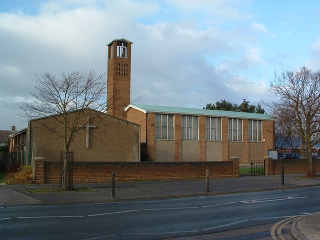
Photo: Keith Evans, CC BY-SA 2.0.
St Francis Church is situated 3,000 feet northeast of The Belstead Arms.
Belstead Brook Hotel
Hotel

Photo: Maypm, CC BY-SA 4.0.
The Belstead Brook Hotel in Ipswich, Suffolk is a building of historical significance. It was originally a 16th-century hunting lodge but was used later as a family residence. Belstead Brook Hotel is situated 2,100 feet southeast of The Belstead Arms.
St Mark
Church

Photo: Oxymoron, CC BY-SA 2.0.
St. Mark's Roman Catholic Church is a Catholic church on the Chantry Estate in Ipswich. It is part of the Roman Catholic Diocese of East Anglia. It opened in May 1959. St Mark is situated 3,300 feet northeast of The Belstead Arms.
Places in the Area
Nearby places include Pinewood and Chantry.
Pinewood
Suburb
Pinewood is a civil parish and electoral ward in the Babergh district of the English county of Suffolk. Whilst not part of the borough, it forms part of the town of Ipswich although part of the parish is separated from it by Belstead Brook, a tributary of the River Orwell.
Chantry
Suburb
Photo: Keith Evans, CC BY-SA 2.0.
Chantry is a suburban residential area in the south west district of Ipswich, in the county of Suffolk, England. It lies west of Stoke. It has a population of over 30,000.
Stoke Park
Suburb
Stoke Park was a country estate located at the southern edge of the Stoke ridge. The estate was owned by the Barons Gwydyr, and sold in the 1920s to pay death duties.
The Belstead Arms
- Type: Pub
- Address: Radcliffe Drive, Ipswich, IP2 9QU
- Location: Pinewood, Babergh District, Suffolk, East of England, England, United Kingdom, Britain and Ireland, Europe
- View on OpenStreetMap
Latitude
52.03899° or 52° 2′ 20″ northLongitude
1.11604° or 1° 6′ 58″ eastOpen location code
9F4324Q8+HCOpenStreetMap ID
way 1227143668OpenStreetMap feature
amenity=pub
This page is based on OpenStreetMap, Wikidata, and Wikimedia Commons.
We’d love your help improving our open data sources. Thank you for contributing.
Satellite Map
Discover The Belstead Arms from above in high-definition satellite imagery.
Notable Places Nearby
Highlights include Ellenbrook Green Post Office and Gusford Community Primary School.
Nearby Places
Explore places such as Belstead Arms and Vithusan.
Suffolk: Must-Visit Destinations
Delve into Ipswich, Bury St Edmunds, Lowestoft, and Felixstowe.
Curious Pubs to Discover
Uncover intriguing pubs from every corner of the globe.
About Mapcarta. Data © OpenStreetMap contributors and available under the Open Database License". Text is available under the CC BY-SA 4.0 license, except for photos, directions, and the map. Photo: Wikimedia, CC0.