Eland Way
Eland Way is an electrical substation in Fulbourn, South Cambridgeshire District, England. Eland Way is situated nearby to Bewick Bridge Community Primary School, as well as near the park Capuchin Court.| Tap on a place to explore it |
Places of Interest Nearby
Highlights include Bewick Bridge Community Primary School and St Andrew’s Church, Cherry Hinton.
Bewick Bridge Community Primary School
School

Photo: Keith Edkins, CC BY-SA 2.0.
Bewick Bridge Community Primary School is situated 970 feet southwest of Eland Way.
St Andrew’s Church, Cherry Hinton
Church

Photo: mym, CC BY-SA 2.0.
St Andrew's Church, Cherry Hinton is a Church of England parish church in Cherry Hinton, Cambridge. It is Grade I listed. The building dates from the late 12th century with a 13th-century chancel. St Andrew’s Church, Cherry Hinton is situated 1,900 feet west of Eland Way.
Cambridge International Airport
Aerodrome

Photo: My another account, CC0.
Cambridge City Airport — previously Marshall Airport Cambridge UK — is a regional airport in Cambridgeshire, England. It is located on the eastern outskirts of Cambridge, south of Newmarket Road and west of the village of Teversham, 1.5 NM from the centre of Cambridge and approximately 50 mi from London.
Places in the Area
Nearby places include Cherry Hinton and Fulbourn.
Cherry Hinton
Suburb
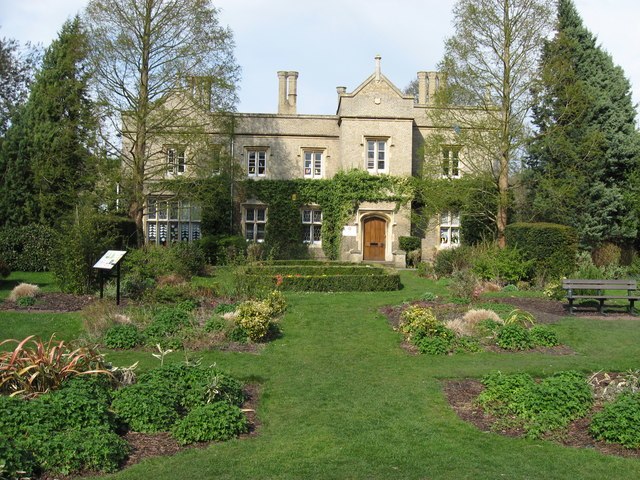
Photo: Pete Saunders, CC BY-SA 2.0.
Cherry Hinton is a village and electoral ward in Cambridge, in the county of Cambridgeshire, England. As of the 2021 UK census, the ward's population was 9,343 people.
Fulbourn
Village

Photo: Cmglee, CC BY-SA 3.0.
Fulbourn is a village in Cambridgeshire, England, with evidence of settlement dating back to Neolithic times. The village was probably established under its current name by 1200. Fulbourn is situated 1½ miles southeast of Eland Way.
Gog Magog Hills
Locality
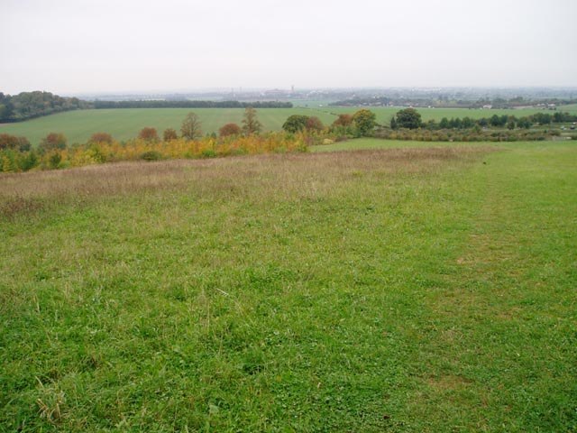
Photo: David Gruar, CC BY-SA 2.0.
The Gog Magog Hills are a range of low chalk hills extending for several miles to the southeast of Cambridge in England. The highest points are either side of the A1307 Babraham Road, and are marked on the Ordnance Survey map as Little Trees Hill and Wandlebury Hill, at 74 m, and Telegraph Clump, at 75 m. Gog Magog Hills is situated 2 miles south of Eland Way.
Eland Way
- Type: Electrical substation
- Category: industry
- Location: Fulbourn, South Cambridgeshire District, Cambridgeshire, England, United Kingdom, Britain and Ireland, Europe
- View on OpenStreetMap
Latitude
52.19199° or 52° 11′ 31″ northLongitude
0.18667° or 0° 11′ 12″ eastOperator
UK Power NetworksOpen location code
9F4255RP+QMOpenStreetMap ID
way 1227905308
This page is based on OpenStreetMap, Wikidata, and Wikimedia Commons.
We’d love your help improving our open data sources. Thank you for contributing.
Satellite Map
Discover Eland Way from above in high-definition satellite imagery.
Places with the Same Name
Discover other places named “Eland Way”.
Notable Places Nearby
Highlights include Capuchin Court and Saint Andrew’s Churchyard.
Nearby Places
Explore places such as Impala Drive Walkway and Antelope Way.
England: Must-Visit Destinations
Delve into London, Manchester, Sheffield, and Leeds.
Curious Electrical Substations to Discover
Uncover intriguing electrical substations from every corner of the globe.
About Mapcarta. Data © OpenStreetMap contributors and available under the Open Database License". Text is available under the CC BY-SA 4.0 license, except for photos, directions, and the map. Photo: sidibousaid, CC BY 2.0.