Sporthalle Kripp
Sporthalle Kripp is a sports venue in Remagen, Bad Neuenahr-Ahrweiler, Rhineland-Palatinate. Sporthalle Kripp is situated nearby to the fire station FFW Kripp, as well as near the cemetery Friedhof Kripp.| Tap on a place to explore it |
Places of Interest Nearby
Highlights include St. Johannes Nepomuk (Kripp) and Mündungsgebiet der Ahr.
St. Johannes Nepomuk (Kripp)
Church

Photo: GFreihalter, CC BY-SA 3.0.
St. Johannes Nepomuk (Kripp) is a church, which is situated 430 metres east of Sporthalle Kripp.
Mündungsgebiet der Ahr
Nature reserve

Photo: Wolkenkratzer, CC BY-SA 3.0.
Mündungsgebiet der Ahr is a nature reserve.

Places in the Area
Nearby places include Kripp and Linz am Rhein.

Linz am Rhein
Town

Photo: Wolkenkratzer, CC BY-SA 3.0.
Linz am Rhein is a municipality in the district of Neuwied, in Rhineland-Palatinate, Germany. It is situated on the right bank of the river Rhine near Remagen, approx.
Sinzig
Town
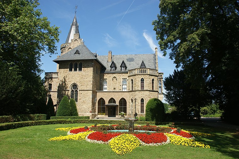
Photo: Tohma, CC BY-SA 3.0.
Sinzig is a town in the district of Ahrweiler, in Rhineland-Palatinate, Germany. It is situated on the river Rhine, about 5 km south-east of Remagen and 25 km south-east of Bonn, and it has approximately 20,000 inhabitants.
Sporthalle Kripp
- Type: Sports venue
- Categories: building, recreation area, and sports location
- Location: Remagen, Bad Neuenahr-Ahrweiler, Eifel, Rhineland-Palatinate, Germany, Central Europe, Europe
- View on OpenStreetMap
Latitude
50.55943° or 50° 33′ 34″ northLongitude
7.26351° or 7° 15′ 49″ eastOpen location code
9F29H757+QCOpenStreetMap ID
way 122969694OpenStreetMap feature
building=yesOpenStreetMap feature
leisure=sports_hallOpenStreetMap feature
sport=multi
This page is based on OpenStreetMap, Wikidata, and Wikimedia Commons.
We’d love your help improving our open data sources. Thank you for contributing.
Satellite Map
Discover Sporthalle Kripp from above in high-definition satellite imagery.
Notable Places Nearby
Highlights include FFW Kripp and Friedhof Kripp.
Nearby Places
Explore places such as Grundschule Kripp and Kripp Friedhof.
Eifel: Must-Visit Destinations
Delve into Bitburg, Mayen, Nürburg, and Dernau.
Curious Sports Venues to Discover
Uncover intriguing sports venues from every corner of the globe.
About Mapcarta. Data © OpenStreetMap contributors and available under the Open Database License". Text is available under the CC BY-SA 4.0 license, except for photos, directions, and the map. Photo: Thilver, CC BY-SA 4.0.