Aurachtalbrücke
Aurachtalbrücke is a bridge in Emskirchen, Neustadt-Bad Windsheim, Bavaria. Aurachtalbrücke is situated nearby to the community center Bürgerhalle Emskirchen, as well as near the athletics track Bikepark Markt Emskirchen.| Tap on a place to explore it |
Places of Interest Nearby
Highlights include St. Kilian and Auferstehungskirche.
St. Kilian
Church

Photo: Tilman2007, CC BY 3.0.
St. Kilian is a church, which is situated 490 metres west of Aurachtalbrücke.
Auferstehungskirche
Church

Photo: Tilman2007, CC BY 3.0.
Auferstehungskirche is a church, which is situated 780 metres southwest of Aurachtalbrücke.
Emskirchen
Railway station
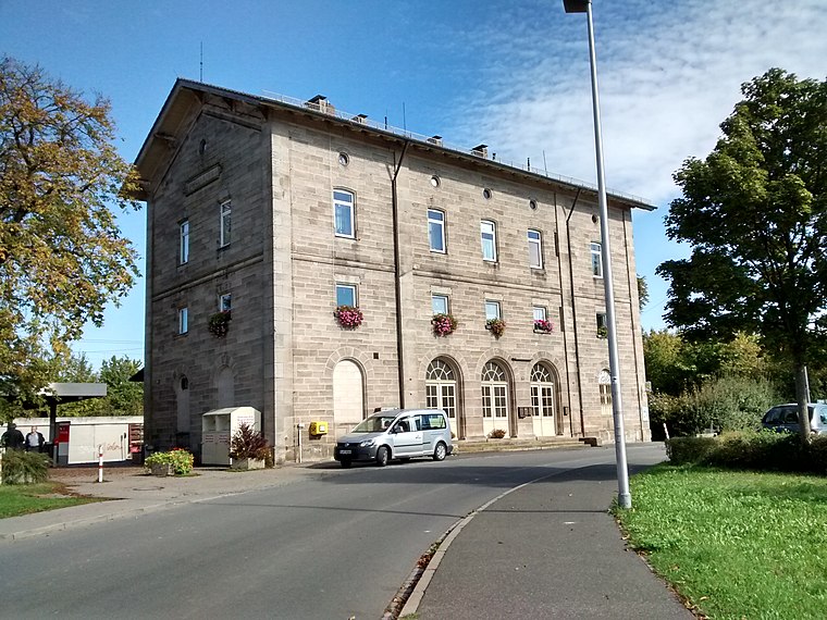
Photo: WMguegafue, CC BY-SA 4.0.
Emskirchen is a railway station, which is situated 1 km west of Aurachtalbrücke.
Places in the Area
Nearby places include Gunzendorf (Emskirchen) and Riedelhof.
Gunzendorf (Emskirchen)
Village

Photo: WMguegafue, CC BY-SA 4.0.
Gunzendorf (Emskirchen) is a village.

Neuschauerberg
Village
 Neuschauerberg is a village, which is situated 2½ km southwest of Aurachtalbrücke.
Aurachtalbrücke
- Type: Bridge
- Category: transportation
- Location: Emskirchen, Neustadt-Bad Windsheim, Middle Franconia, Franconia, Bavaria, Germany, Central Europe, Europe
- View on OpenStreetMap
Latitude
49.55308° or 49° 33′ 11″ northLongitude
10.72386° or 10° 43′ 26″ eastOpen location code
8FXGHP3F+6GOpenStreetMap ID
way 1235791055OpenStreetMap feature
man_made=bridge
This page is based on OpenStreetMap, Wikidata, and Wikimedia Commons.
We’d love your help improving our open data sources. Thank you for contributing.
Satellite Map
Discover Aurachtalbrücke from above in high-definition satellite imagery.
Places with the Same Name
Discover other places named “Aurachtalbrücke”.
Notable Places Nearby
Highlights include Bürgerhalle Emskirchen and Bikepark Markt Emskirchen.
Nearby Places
Explore places such as (LKW-)Parkplatz Aurachtalbrücke Ost and (LKW-)Parkplatz Aurachtalbrücke West.
Middle Franconia: Must-Visit Destinations
Delve into Nuremberg, Erlangen, Fürth, and Ansbach.
Curious Bridges to Discover
Uncover intriguing bridges from every corner of the globe.
About Mapcarta. Data © OpenStreetMap contributors and available under the Open Database License". Text is available under the CC BY-SA 4.0 license, except for photos, directions, and the map. Photo: Berthold Werner, CC0.