(LKW-)Parkplatz Aurachtalbrücke West
(LKW-)Parkplatz Aurachtalbrücke West is a parking area in Emskirchen, Neustadt-Bad Windsheim, Bavaria. (LKW-)Parkplatz Aurachtalbrücke West is situated nearby to the community center Bürgerhalle Emskirchen, as well as near the pitch Tennisplatz TC Emskirchen ev.| Tap on a place to explore it |
- Type: Parking area
- Parking: surface
- Wheelchair access: yes
Places of Interest Nearby
Highlights include St. Kilian and Auferstehungskirche.
St. Kilian
Church

Photo: Tilman2007, CC BY 3.0.
St. Kilian is a church, which is situated 420 metres southwest of (LKW-)Parkplatz Aurachtalbrücke West.
Auferstehungskirche
Church

Photo: Tilman2007, CC BY 3.0.
Auferstehungskirche is a church, which is situated 720 metres southwest of (LKW-)Parkplatz Aurachtalbrücke West.
Emskirchen
Railway station
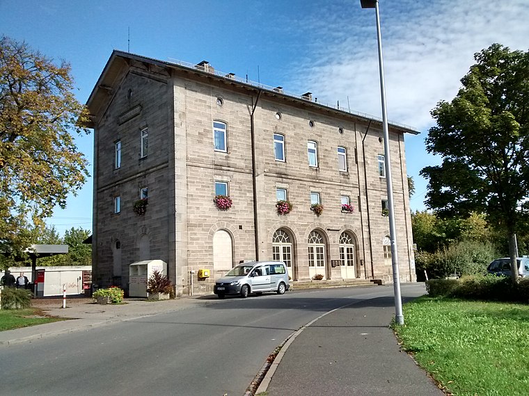
Photo: WMguegafue, CC BY-SA 4.0.
Emskirchen is a railway station, which is situated 1 km west of (LKW-)Parkplatz Aurachtalbrücke West.
Places in the Area
Nearby places include Gunzendorf (Emskirchen) and Riedelhof.
Gunzendorf (Emskirchen)
Village

Photo: WMguegafue, CC BY-SA 4.0.
Gunzendorf (Emskirchen) is a village.


(LKW-)Parkplatz Aurachtalbrücke West
- Category: transportation
- Location: Emskirchen, Neustadt-Bad Windsheim, Middle Franconia, Franconia, Bavaria, Germany, Central Europe, Europe
- View on OpenStreetMap
Latitude
49.55376° or 49° 33′ 14″ northLongitude
10.72233° or 10° 43′ 20″ eastOpen location code
8FXGHP3C+GWOpenStreetMap ID
way 1241977544OpenStreetMap feature
amenity=parkingOpenStreetMap attribute
parking=surfaceOpenStreetMap attribute
wheelchair=yes
This page is based on OpenStreetMap, Wikidata, and Wikimedia Commons.
We’d love your help improving our open data sources. Thank you for contributing.
Satellite Map
Discover (LKW-)Parkplatz Aurachtalbrücke West from above in high-definition satellite imagery.
Notable Places Nearby
Highlights include Aurachtalbrücke and Bürgerhalle Emskirchen.
Nearby Places
Explore places such as (LKW-)Parkplatz Aurachtalbrücke Ost and Bauhof Gemeinde Emskirchen.
Middle Franconia: Must-Visit Destinations
Delve into Nuremberg, Erlangen, Fürth, and Ansbach.
Curious Parking Areas to Discover
Uncover intriguing parking areas from every corner of the globe.
About Mapcarta. Data © OpenStreetMap contributors and available under the Open Database License". Text is available under the CC BY-SA 4.0 license, except for photos, directions, and the map. Photo: Berthold Werner, CC0.