Getty Center Heliport
Getty Center Heliport is a helipad in Los Angeles, Southern California, California. Getty Center Heliport is situated nearby to the theater building Auditorium, as well as near the railway station Upper Tram Station.| Tap on a place to explore it |
Places of Interest Nearby
Highlights include The J. Paul Getty Museum and Hotel Angeleno.
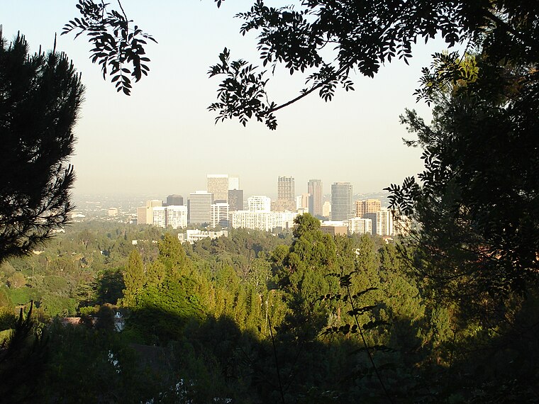
The J. Paul Getty Museum
Museum

Photo: Jelson25, Public domain.
The J. Paul Getty Museum, commonly referred to as the Getty, is an American art museum in Los Angeles, California, housed on two campuses: the Getty Center and Getty Villa. The J. Paul Getty Museum is situated 1,100 feet south of Getty Center Heliport.
Hotel Angeleno
Hotel

Photo: Angelo DeSantis, CC BY 2.0.
Hotel Angeleno is situated 3,100 feet southeast of Getty Center Heliport.
St. Martin of Tours Catholic Church
Church

Photo: Cbl62, CC BY-SA 3.0.
St. Martin of Tours Catholic Church is a Catholic church in the Los Angeles Archdiocese, Our Lady of the Angels Pastoral Region. The church is located on Sunset Boulevard in the affluent Brentwood section of Los Angeles, California. St. Martin of Tours Catholic Church is situated 1¼ miles south of Getty Center Heliport.
Places in the Area
Nearby places include Bel Air and Brentwood.
Bel Air
Quarter

Photo: Leahcim506, Public domain.
Bel Air is a residential neighborhood in the Westside region on the foothills of the Santa Monica Mountains of Los Angeles, California, United States. Together with Beverly Hills and Holmby Hills, Bel Air forms the Platinum Triangle of Los Angeles neighborhoods. Bel Air is situated 1½ miles east of Getty Center Heliport.
Brentwood
Suburb
Brentwood is a suburban neighborhood in the Westside region of Los Angeles, California. Brentwood is situated 2 miles south of Getty Center Heliport.
Westwood, Los Angeles
Suburb
 Westwood is a commercial and residential neighborhood in the northern central portion of the Westside region of the city of Los Angeles, California. It is the home of the University of California, Los Angeles. Westwood, Los Angeles is situated 2 miles southeast of Getty Center Heliport.
Getty Center Heliport
- Type: Helipad
- Category: transportation
- Location: Los Angeles, Southern California, California, United States, North America
- View on OpenStreetMap
Latitude
34.07982° or 34° 4′ 47″ northLongitude
-118.47521° or 118° 28′ 31″ westOpen location code
85633GHF+WWOpenStreetMap ID
way 1239611219OpenStreetMap feature
aeroway=helipad
This page is based on OpenStreetMap, Wikidata, and Wikimedia Commons.
We’d love your help improving our open data sources. Thank you for contributing.
Satellite Map
Discover Getty Center Heliport from above in high-definition satellite imagery.
Notable Places Nearby
Highlights include Auditorium and Upper Tram Station.
Nearby Places
Explore places such as The Getty Conservation Institute and The Getty Foundation.
Los Angeles: Must-Visit Destinations
Delve into Hollywood, San Gabriel Valley, San Fernando Valley, and Long Beach.
Curious Helipads to Discover
Uncover intriguing helipads from every corner of the globe.
About Mapcarta. Data © OpenStreetMap contributors and available under the Open Database License". Text is available under the CC BY-SA 4.0 license, except for photos, directions, and the map. Photo: Mfield, CC BY-SA 3.0.