Penhill Field
Penhill Field is in Sharlston, Wakefield, England. Penhill Field is situated nearby to Warmfield Common, as well as near the forest Peashill Plantation.| Tap on a place to explore it |
Places of Interest Nearby
Highlights include Heath Hall and Church of St Peter.
Heath Hall
Historic building

Photo: Ian Russell, CC BY-SA 2.0.
Heath Hall, Heath, Wakefield, West Yorkshire is a country house dating from 1709. Originally called Eshald House, the estate was purchased by John Smyth whose nephew engaged John Carr of York to reconstruct the house between 1754 and 1780. Heath Hall is situated 1¼ miles west of Penhill Field.
Church of St Peter
Church

Photo: Ian Russell, CC BY-SA 2.0.
Church of St Peter is situated 1 mile northwest of Penhill Field.
Crofton TMD
Crofton Depot is a traction maintenance depot located in Crofton, West Yorkshire, England. The depot is situated on the Wakefield Line and Pontefract Line at the eastern end of Crofton Junction and is located near the now demolished Crofton railway station. Crofton TMD is situated 1 mile southwest of Penhill Field.Places in the Area
Nearby places include Kirkthorpe and Sharlston.
Kirkthorpe
Village
Photo: Ian Russell, CC BY-SA 2.0.
Kirkthorpe is a village within the City of Wakefield metropolitan borough of West Yorkshire, England. It lies 3 miles east of the city centre.
Sharlston
Village
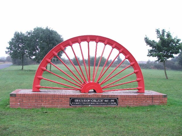
Photo: Steve Partridge, CC BY-SA 2.0.
Sharlston is a village and civil parish, situated 4 miles east of Wakefield in West Yorkshire, England, and includes the settlements of Old Sharlston, Sharlston Common and New Sharlston.
Streethouse
Village
Streethouse is a semi rural village in West Yorkshire, England that is situated to the east of Wakefield, the west of Featherstone and the south-west of Castleford. It is also situated on a Roman road.
Penhill Field
- Type: Agricultural land
- Category: agriculture
- Location: Sharlston, Wakefield, England, United Kingdom, Britain and Ireland, Europe
- View on OpenStreetMap
Latitude
53.67574° or 53° 40′ 33″ northLongitude
-1.43359° or 1° 26′ 1″ westOpen location code
9C5WMHG8+7HOpenStreetMap ID
way 1265841209OpenStreetMap feature
landuse=farmland
This page is based on OpenStreetMap, Wikidata, and Wikimedia Commons.
We’d love your help improving our open data sources. Thank you for contributing.
Satellite Map
Discover Penhill Field from above in high-definition satellite imagery.
Notable Places Nearby
Highlights include Warmfield Common and Peashill Plantation.
Nearby Places
Explore places such as High Street Crossley Street and MK Car Sales.
England: Must-Visit Destinations
Delve into London, Manchester, Sheffield, and Leeds.
Curious Places to Discover
Uncover intriguing places from every corner of the globe.
About Mapcarta. Data © OpenStreetMap contributors and available under the Open Database License". Text is available under the CC BY-SA 4.0 license, except for photos, directions, and the map. Photo: sidibousaid, CC BY 2.0.