Maes-llech Farm
Maes-llech Farm is a farm in Mawr, Swansea, Wales. Maes-llech Farm is situated nearby to the village Garnswllt, as well as near Pantyffynnon.| Tap on a place to explore it |
Places of Interest Nearby
Highlights include Pantyffynnon railway station and Pentwyn Mawr.
Pantyffynnon railway station
Railway station

Photo: Alan Hughes, CC BY-SA 2.0.
Pantyffynnon railway station is a railway station serving the village of Pantyffynnon, in Carmarthenshire, Wales. It is situated on the Heart of Wales Line at its junction with the branch lines to Brynamman and Abernant. Pantyffynnon railway station is situated 1 mile northwest of Maes-llech Farm.

Ammanford railway station
Railway station
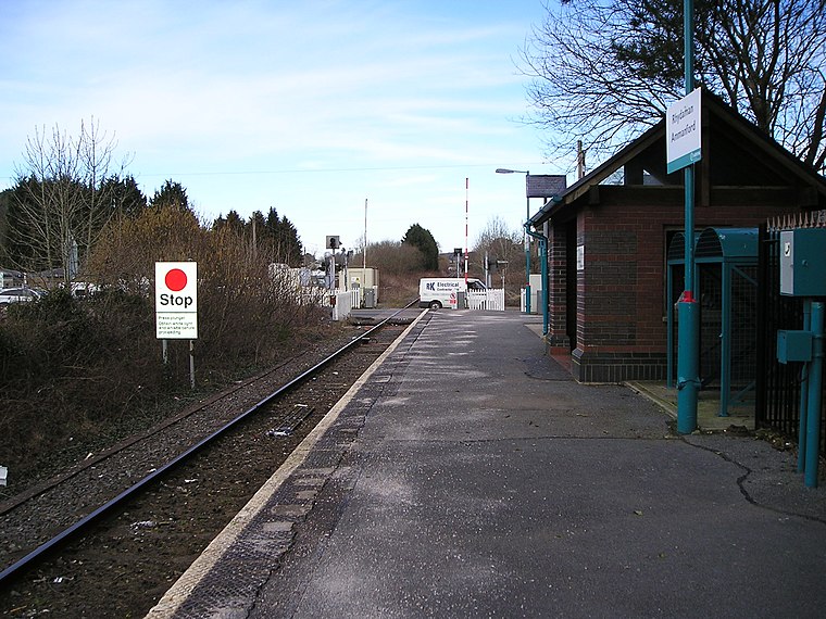
Photo: Marion Phillips, CC BY-SA 2.0.
Ammanford railway station in Ammanford, Carmarthenshire, Wales, is 12 miles north of Swansea on the Heart of Wales Line. The station opened in 1841 as a temporary terminus of the Llanelly Railway's line to Llandeilo, making it one of the country's earlier railway stations. Ammanford railway station is situated 2 miles north of Maes-llech Farm.
Places in the Area
Nearby places include Garnswllt and Pantyffynnon.
Garnswllt
Village

Photo: Nigel Davies, CC BY-SA 2.0.
Garnswllt is a rural village in the City and County of Swansea, Wales falling within the Mawr ward. It lies in the far north of Swansea near the border with Carmarthenshire.
Pantyffynnon
Village
Pantyffynnon is a small village in Carmarthenshire, Wales, half a mile south-west of Ammanford, and a mile east of Tycroes. It lies between the rivers Loughor and Amman at the foot of Mynydd y Betws.
Betws
Village
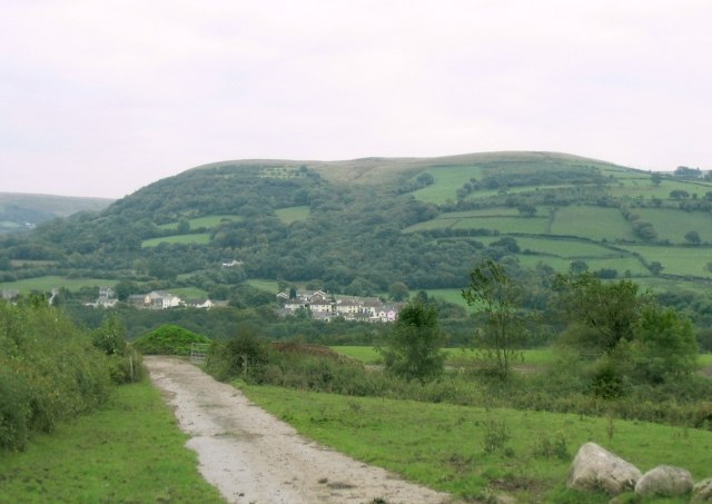
Photo: Nigel Davies, CC BY-SA 2.0.
Betws is a small village and community on the River Amman in Carmarthenshire, Wales, some 15 miles north of Swansea; it is part of the ecclesiastical parish of Betws and Ammanford, and the urban area of Ammanford.
Maes-llech Farm
- Type: Farm
- Category: agriculture
- Location: Mawr, Swansea, Wales, United Kingdom, Britain and Ireland, Europe
- View on OpenStreetMap
Latitude
51.76994° or 51° 46′ 12″ northLongitude
-3.97991° or 3° 58′ 48″ westOpen location code
9C3RQ29C+X2OpenStreetMap ID
way 1268135318OpenStreetMap feature
landuse=farmyard
This page is based on OpenStreetMap, Wikidata, and Wikimedia Commons.
We’d love your help improving our open data sources. Thank you for contributing.
Satellite Map
Discover Maes-llech Farm from above in high-definition satellite imagery.
Notable Places Nearby
Highlights include Parc Maimo and Pantyffynnon RFC.
Nearby Places
Explore places such as Valley Farm and Dol-y-Garn.
Wales: Must-Visit Destinations
Delve into Cardiff, Newport, Llanfairpwllgwyngyll, and Bangor.
Curious Farms to Discover
Uncover intriguing farms from every corner of the globe.
About Mapcarta. Data © OpenStreetMap contributors and available under the Open Database License". Text is available under the CC BY-SA 4.0 license, except for photos, directions, and the map. Photo: Andrew Evans, CC BY 2.0.