Castle Donnington Distribution Depot
Castle Donnington Distribution Depot is in Castle Donington, North West Leicestershire, England. Castle Donnington Distribution Depot is situated nearby to the bridge Castle Donington railway viaduct, as well as near Flood Arches Bridge.| Tap on a place to explore it |
Places of Interest Nearby
Highlights include Castle Donington railway viaduct and Castle Donington Methodist Church.
Castle Donington railway viaduct
Bridge

Photo: Jokulhlaup, CC BY-SA 4.0.
Castle Donington railway viaduct is a bridge, which is situated 780 feet north of Castle Donnington Distribution Depot.
Castle Donington Methodist Church
Church

Photo: Rpriv2000, CC BY-SA 3.0.
Castle Donington Methodist Church is a Grade II listed Methodist Church in Castle Donington, Leicestershire. Castle Donington Methodist Church is situated 1¼ miles southeast of Castle Donnington Distribution Depot.
The Priest House Hotel
Hotel

Photo: Andy Stephenson, CC BY-SA 2.0.
The Priest House Hotel is situated 4,200 feet southwest of Castle Donnington Distribution Depot.
Places in the Area
Nearby places include Aston-on-Trent and Shardlow.
Aston-on-Trent
Village

Photo: Chris J Dixon, CC BY-SA 2.0.
Aston-on-Trent is a village and civil parish in the South Derbyshire district, in the county of Derbyshire, England. The parish had a population of 1,682 at the 2011 Census.
Shardlow
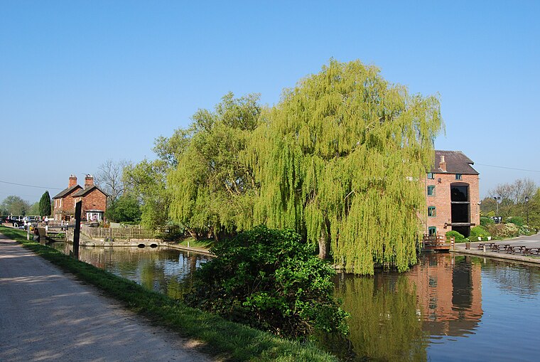
Photo: Rpriv2000, CC BY-SA 3.0.
Shardlow is a village in Derbyshire, England about 6 miles southeast of Derby and 11 miles southwest of Nottingham. Part of the civil parish of Shardlow and Great Wilne, and the district of South Derbyshire, it is also very close to the border with Leicestershire, defined by the route of the River Trent which passes close to the south.
Weston-on-Trent
Village
 Weston-on-Trent is a village and civil parish in the South Derbyshire district of Derbyshire. The population of the civil parish at the 2011 census was 1,239.
Castle Donnington Distribution Depot
- Type: Railway
- Category: transportation
- Location: Castle Donington, North West Leicestershire, Leicestershire, East Midlands, England, United Kingdom, Britain and Ireland, Europe
- View on OpenStreetMap
Latitude
52.84944° or 52° 50′ 58″ northLongitude
-1.36548° or 1° 21′ 56″ westOpen location code
9C4WRJXM+QROpenStreetMap ID
way 1270661091OpenStreetMap feature
landuse=railwayOpenStreetMap feature
railway=yard
This page is based on OpenStreetMap, Wikidata, and Wikimedia Commons.
We’d love your help improving our open data sources. Thank you for contributing.
Satellite Map
Discover Castle Donnington Distribution Depot from above in high-definition satellite imagery.
Notable Places Nearby
Highlights include Flood Arches Bridge and Flood Arches.
Nearby Places
Explore places such as Birlea Furniture and Interlevin Refrigeration.
Leicestershire: Must-Visit Destinations
Delve into Leicester, Loughborough, Hinckley, and Melton Mowbray.
Curious Places to Discover
Uncover intriguing places from every corner of the globe.
About Mapcarta. Data © OpenStreetMap contributors and available under the Open Database License". Text is available under the CC BY-SA 4.0 license, except for photos, directions, and the map. Photo: Pyrope, CC BY-SA 3.0.