Toynton STW
Toynton STW is a wastewater treatment plant in Toynton St. Peter, East Lindsey District, England. Toynton STW is situated nearby to Church of St Peter, as well as near the community center Toynton Village Hall.| Tap on a place to explore it |
Places of Interest Nearby
Highlights include Church of St Peter and Church of All Saints.
Church of St Peter
Church

Photo: Dave Hitchborne, CC BY-SA 2.0.
Church of St Peter is situated 2,100 feet north of Toynton STW.
Church of All Saints
Church

Photo: Dave Hitchborne, CC BY-SA 2.0.
Church of All Saints is situated 1 mile northwest of Toynton STW.
Church of St Helen
Church

Photo: Dave Hitchborne, CC BY-SA 2.0.
Church of St Helen is situated 1½ miles northwest of Toynton STW.
Places in the Area
Nearby places include Spilsby and Ashby by Partney.
Spilsby
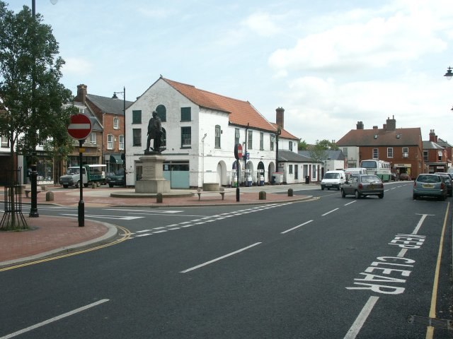
Photo: Wikimedia, CC BY-SA 2.0.
Spilsby is a market town in the East Lindsey district of Lincolnshire. It is home to the ruins of Bolingbroke Castle.
Ashby by Partney
Hamlet

Photo: Dave Hitchborne, CC BY-SA 2.0.
Ashby by Partney is a village and former civil parish, now in the parish of Ashby with Scremby, in the East Lindsey district of Lincolnshire, England. It is situated to the south of the A158 road, and 2 miles east from the town of Spilsby. Ashby by Partney is situated 3 miles northeast of Toynton STW.
Raithby by Spilsby
Village

Photo: Dave Hitchborne, CC BY-SA 2.0.
Raithby by Spilsby or Raithby is a village and civil parish in the East Lindsey district of Lincolnshire, England. It is situated about 2 miles north-west from the town of Spilsby. Raithby by Spilsby is situated 3½ miles northwest of Toynton STW.
Toynton STW
- Type: Wastewater treatment plant
- Category: industry
- Location: Toynton St. Peter, East Lindsey District, Lincolnshire, East Midlands, England, United Kingdom, Britain and Ireland, Europe
- View on OpenStreetMap
Latitude
53.14401° or 53° 8′ 38″ northLongitude
0.09606° or 0° 5′ 46″ eastOperator
Anglian WaterOpen location code
9F5243VW+JCOpenStreetMap ID
way 1271439393OpenStreetMap feature
man_made=wastewater_plant
This page is based on OpenStreetMap, Wikidata, and Wikimedia Commons.
We’d love your help improving our open data sources. Thank you for contributing.
Satellite Map
Discover Toynton STW from above in high-definition satellite imagery.
Notable Places Nearby
Highlights include Toynton Village Hall and Toynton All Saints Primary School.
Nearby Places
Explore places such as Home Farm and Fairholme.
Lincolnshire: Must-Visit Destinations
Delve into Lincoln, Grimsby, Scunthorpe, and Stamford.
Curious Wastewater Treatment Plants to Discover
Uncover intriguing wastewater treatment plants from every corner of the globe.
About Mapcarta. Data © OpenStreetMap contributors and available under the Open Database License". Text is available under the CC BY-SA 4.0 license, except for photos, directions, and the map. Photo: Wikimedia, CC0.