The Bear Club
The Bear Club is a nightclub in Luton, England which is located on Guildford Street. The Bear Club is situated nearby to the theater building Act Around, as well as near George II Public House.| Tap on a place to explore it |
Places of Interest Nearby
Highlights include Luton railway station and George II Public House.
Luton railway station
Railway station
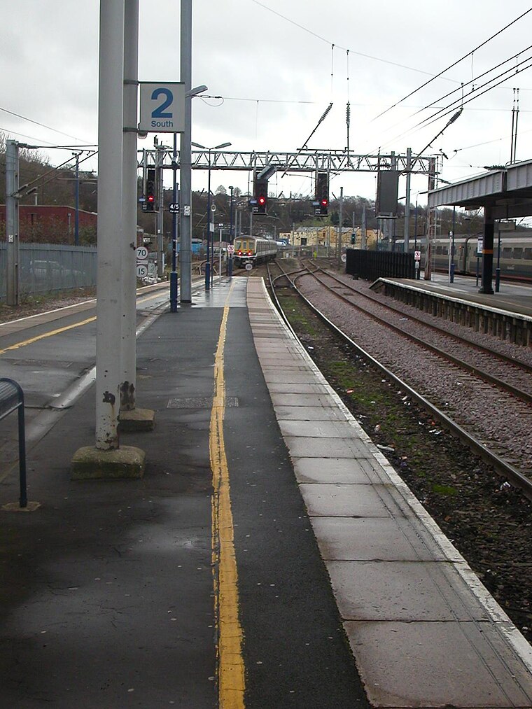
Photo: Hassocks5489, Public domain.
Luton railway station is located in the town centre of Luton, Bedfordshire, England. The station is about three minutes' walk from Luton Point Shopping Centre. It is situated on the Midland Main Line and is operated by Thameslink. Luton railway station is situated 580 feet northwest of The Bear Club.

St Mary’s Church, Luton
Church

Photo: anemoneprojectors, CC BY-SA 2.0.
St Mary's Church is an Anglican Church in the centre of the town of Luton, England. The church has a rich and long history, being over 900 years old and has been rebuilt and refurbished constantly over the centuries. St Mary’s Church, Luton is situated 1,100 feet southeast of The Bear Club.
Places in the Area
Nearby places include High Town and Round Green.
High Town
Suburb

Photo: Wikimedia, CC BY-SA 4.0.
High Town is an inner area of Luton immediately north of Luton railway station, and a ward of the Borough of Luton, in the ceremonial county of Bedfordshire, England.
Round Green
Suburb

Photo: Nigel Cox, CC BY-SA 2.0.
Round Green is a suburb of Luton just over 1 mile north-east of the town centre, and a ward of the Borough of Luton, in the ceremonial county of Bedfordshire, England.
Stopsley
Suburb

Photo: StuJB, CC BY-SA 3.0.
Stopsley is a suburb in the north-east of Luton, Bedfordshire, England. The area is roughly bounded by the edge of Luton to the north, Vauxhall Way and Turners Road North to the south, Bradgers Hill to the west, and Cannon Lane, Stapleford Road and Brays Road to the east.
The Bear Club
- Type: Nightclub
- Address: Guildford Street, Luton
- Category: building
- Location: Luton, England, United Kingdom, Britain and Ireland, Europe
- View on OpenStreetMap
Latitude
51.88109° or 51° 52′ 52″ northLongitude
-0.41295° or 0° 24′ 47″ westOpen location code
9C3XVHJP+CROpenStreetMap ID
way 1275703898OpenStreetMap feature
amenity=nightclubOpenStreetMap feature
building=yes
This page is based on OpenStreetMap, Wikidata, and Wikimedia Commons.
We’d love your help improving our open data sources. Thank you for contributing.
Satellite Map
Discover The Bear Club from above in high-definition satellite imagery.
Notable Places Nearby
Highlights include Act Around and The Great Northern.
Nearby Places
Explore places such as UC and The Stage.
England: Must-Visit Destinations
Delve into London, Manchester, Sheffield, and Leeds.
Curious Nightclubs to Discover
Uncover intriguing nightclubs from every corner of the globe.
About Mapcarta. Data © OpenStreetMap contributors and available under the Open Database License". Text is available under the CC BY-SA 4.0 license, except for photos, directions, and the map. Photo: Bodrogikg, CC BY-SA 4.0.