Bolgerijense Brug
Bolgerijense Brug is a bridge in Vijfheerenlanden, Utrecht. Bolgerijense Brug is situated nearby to the golf course Golfbaan de Kroonprins, as well as near the hamlet Kortenhoeven.| Tap on a place to explore it |
Photo: Jan dijkstra, CC BY-SA 3.0.
Places of Interest Nearby
Highlights include Hervormde kerk, Lexmond and Stadhuis Vianen.
Hervormde kerk, Lexmond
Church

Photo: Teunie, CC BY-SA 3.0.
Hervormde kerk, Lexmond is a church, which is situated 2½ km west of Bolgerijense Brug.
Stadhuis Vianen
Town hall

Photo: FiveLane, CC BY-SA 3.0 nl.
Stadhuis Vianen is a town hall, which is situated 3 km northeast of Bolgerijense Brug.
Lekpoort
City gate

Photo: China Crisis, CC BY-SA 3.0.
Lekpoort is a city gate, which is situated 3½ km northeast of Bolgerijense Brug.
Places in the Area
Nearby places include Kortenhoeven and Lexmond.
Kortenhoeven
Hamlet
Kortenhoeven is a hamlet in the Dutch province of Utrecht. It is a part of the municipality of Vijfheerenlanden, and lies about 5 km south of IJsselstein.
Lexmond
Village

Photo: Wikimedia, CC BY-SA 4.0.
Lexmond is a village in the Dutch province of Utrecht. It is a part of the municipality of Vijfheerenlanden, and lies about 7 km south of IJsselstein. Lexmond was a separate municipality in the province of South Holland until 1986, when it became part of Zederik. Lexmond is situated 2½ km west of Bolgerijense Brug.
Vianen
Town
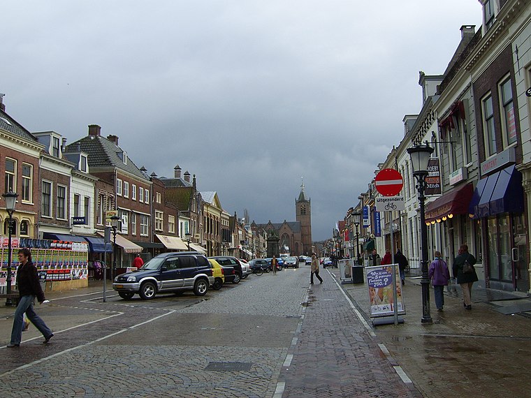
Photo: Ruben alexander, CC BY-SA 3.0.
Vianen is a city and a former municipality in the central Netherlands, in the province of Utrecht. It is located south of the Lek river. Before 2002 it was part of the province of South Holland. Vianen is situated 2½ km northeast of Bolgerijense Brug.
Bolgerijense Brug
- Type: Bridge
- Description: bridge in Netherlands
- Category: transportation
- Location: Vijfheerenlanden, Utrecht, Western Netherlands, Netherlands, Benelux, Europe
- View on OpenStreetMap
Latitude
51.96888° or 51° 58′ 8″ northLongitude
5.07243° or 5° 4′ 21″ eastOpen location code
9F37X39C+HXOpenStreetMap ID
way 1276551801OpenStreetMap feature
man_made=bridgeWikidata ID
Q17597464
This page is based on OpenStreetMap, Wikidata, and Wikimedia Commons.
We’d love your help improving our open data sources. Thank you for contributing.
Satellite Map
Discover Bolgerijense Brug from above in high-definition satellite imagery.
In Other Languages
“Bolgerijense Brug” goes by many names.
- Dutch: “Bolgerijen-brug”
- Dutch: “Bolgerijense Brug”
- Dutch: “Bolgerijensebrug”
- Dutch: “rijksmonumentnummer 520870”
Notable Places Nearby
Highlights include Golfbaan de Kroonprins and Bolgerijen.
Nearby Places
Explore places such as ‘t Zand and ‘t Zand.
Utrecht: Must-Visit Destinations
Delve into Utrecht, Amersfoort, Zeist, and Veenendaal.
Curious Bridges to Discover
Uncover intriguing bridges from every corner of the globe.
About Mapcarta. Data © OpenStreetMap contributors and available under the Open Database License". Text is available under the CC BY-SA 4.0 license, except for photos, directions, and the map. Photo: Jan dijkstra, CC BY-SA 3.0.