Plantage de la Bourdonnette
Plantage de la Bourdonnette is an allotment garden in Lausanne, Vaud. Plantage de la Bourdonnette is situated nearby to the community center Centre socioculturel de la Bourdonnette, as well as near the post office Post Bourdonnette.| Tap on a place to explore it |
Places of Interest Nearby
Highlights include Cantonal and University Library of Lausanne and Edouard Fleuret Library.
Cantonal and University Library of Lausanne
Library

Photo: Rama, CC BY-SA 2.0 fr.
The Cantonal and University Library of Lausanne was founded in the 16th century and became one of the most important public libraries in Switzerland. Cantonal and University Library of Lausanne is situated 360 metres west of Plantage de la Bourdonnette.
Edouard Fleuret Library
Library
 Edouard Fleuret Library is situated 390 metres west of Plantage de la Bourdonnette.
UNIL-Mouline
Railway station

Photo: MHM55, CC BY-SA 4.0.
UNIL-Mouline is a railway station, which is situated 730 metres west of Plantage de la Bourdonnette.
Places in the Area
Nearby places include Renens and Chavannes-près-Renens.
Renens
Town
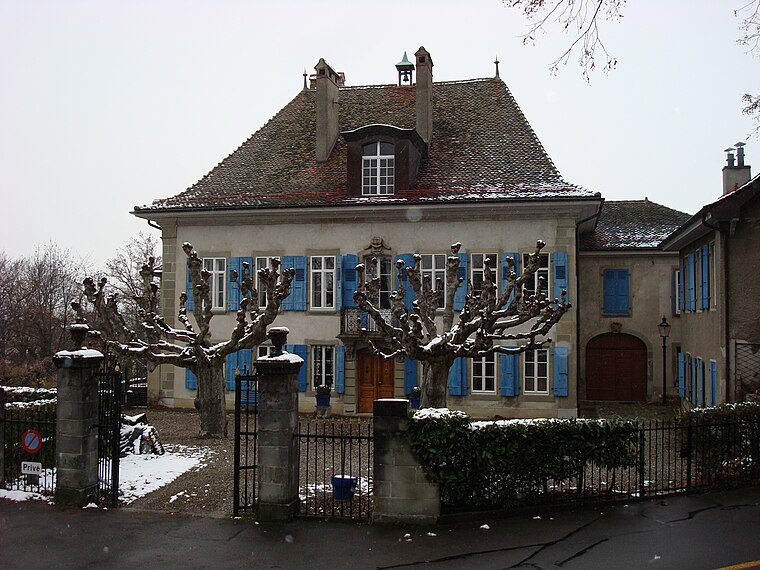
Photo: Vkeller, Public domain.
Renens is a municipality in the canton of Vaud, Switzerland. It is located in the district of Ouest Lausannois, and is a suburb of the city of Lausanne.
Chavannes-près-Renens
Village
Chavannes-près-Renens is a municipality in the Swiss canton of Vaud, located in the district of Ouest Lausannois.
Prilly
Town

Photo: Sa-se, CC BY-SA 3.0.
Prilly is a municipality in Switzerland in the canton of Vaud, located in the district of Ouest Lausannois. It is one of the western suburbs of the city of Lausanne.
Plantage de la Bourdonnette
- Type: Allotment garden
- Location: Lausanne, Lausanne District, Vaud, Western Switzerland, Switzerland, Central Europe, Europe
- View on OpenStreetMap
Latitude
46.5235° or 46° 31′ 25″ northLongitude
6.58843° or 6° 35′ 18″ eastInception
2008Operator
Ville de LausanneOpen location code
8FR8GHFQ+99OpenStreetMap ID
way 1276553358OpenStreetMap feature
landuse=allotments
This page is based on OpenStreetMap, Wikidata, and Wikimedia Commons.
We’d love your help improving our open data sources. Thank you for contributing.
Satellite Map
Discover Plantage de la Bourdonnette from above in high-definition satellite imagery.
Notable Places Nearby
Highlights include Centre socioculturel de la Bourdonnette and Post Bourdonnette.
Nearby Places
Explore places such as Restaurant de la Bourdonnette and Bourdonnette.
Vaud: Must-Visit Destinations
Delve into Montreux, Nyon, Vevey, and Yverdon.
Curious Allotment Gardens to Discover
Uncover intriguing allotment gardens from every corner of the globe.
About Mapcarta. Data © OpenStreetMap contributors and available under the Open Database License". Text is available under the CC BY-SA 4.0 license, except for photos, directions, and the map. Photo: Annickjaquillard, CC BY-SA 4.0.