Navaltecnica Costruzioni Navali srl
Navaltecnica Costruzioni Navali srl is in San Benedetto del Tronto, Ascoli Piceno, Marche. Navaltecnica Costruzioni Navali srl is situated nearby to the government office Capitaneria di Porto – Guardia Costiera, as well as near San Benedetto del Tronto railway station.| Tap on a place to explore it |
Places of Interest Nearby
Highlights include San Benedetto del Tronto railway station and San Benedetto del Tronto Lighthouse.
San Benedetto del Tronto railway station
Railway station

Photo: Alicudi, CC BY-SA 3.0.
San Benedetto del Tronto railway station is situated 220 metres southwest of Navaltecnica Costruzioni Navali srl.
San Benedetto del Tronto Lighthouse

Photo: globetrotter1937, CC BY-SA 2.0.
San Benedetto del Tronto Lighthouse is an active lighthouse located on the waterfront of San Benedetto del Tronto, Marche on the Adriatic Sea.
Stadio Fratelli Ballarin
Stadium

Photo: Luigi936, CC BY-SA 4.0.
Stadio Fratelli Ballarin is a stadium, which is situated 530 metres northwest of Navaltecnica Costruzioni Navali srl.
Places in the Area
Nearby places include Grottammare and Porto d’Ascoli.
Grottammare
Town

Photo: Raboe001, CC BY-SA 3.0 de.
Grottammare is a town and comune on Italy's Adriatic coast, in the province of Ascoli Piceno, Marche region. It is one of I Borghi più belli d'Italia. The town is crossed by the 43rd parallel north. Grottammare is situated 4 km north of Navaltecnica Costruzioni Navali srl.
Porto d’Ascoli
Suburb
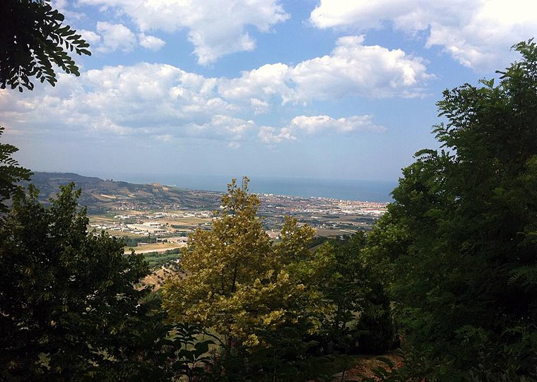
Photo: Horcrux92, CC BY-SA 4.0.
Porto d'Ascoli is a modern residential district of San Benedetto del Tronto in the Province of Ascoli Piceno, Marche region. Porto d’Ascoli is situated 5 km south of Navaltecnica Costruzioni Navali srl.
Centobuchi
Village

Photo: Peter Forster, CC BY-SA 2.0.
Centobuchi is a village, which is situated 7 km south of Navaltecnica Costruzioni Navali srl.
Navaltecnica Costruzioni Navali srl
- Type: Industry
- Location: San Benedetto del Tronto, Ascoli Piceno, Marche, Central Italy, Italy, Europe
- View on OpenStreetMap
Latitude
42.95573° or 42° 57′ 21″ northLongitude
13.88421° or 13° 53′ 3″ eastOpen location code
8FJMXV4M+7MOpenStreetMap ID
way 1282128846OpenStreetMap feature
landuse=industrial
This page is based on OpenStreetMap, Wikidata, and Wikimedia Commons.
We’d love your help improving our open data sources. Thank you for contributing.
Satellite Map
Discover Navaltecnica Costruzioni Navali srl from above in high-definition satellite imagery.
Notable Places Nearby
Highlights include Capitaneria di Porto – Guardia Costiera and Polizia Ferroviaria.
Nearby Places
Explore places such as Nudo e Crudo and Mercato Ittico Comunale.
Ascoli Piceno: Must-Visit Destinations
Delve into Ascoli Piceno and Montalto delle Marche.
Curious Places to Discover
Uncover intriguing places from every corner of the globe.
About Mapcarta. Data © OpenStreetMap contributors and available under the Open Database License". Text is available under the CC BY-SA 4.0 license, except for photos, directions, and the map. Photo: Wikimedia, CC BY-SA 2.0.