Great Bridgeford Bridge
Great Bridgeford Bridge is a bridge in Seighford, Stafford District, England. Great Bridgeford Bridge is situated nearby to the community center Great Bridgeford Village Hall, as well as near Little Bridgeford Bridge.| Tap on a place to explore it |
Places of Interest Nearby
Highlights include Church of St Chad and Walton Hall Academy.
Church of St Chad
Church

Photo: Wikimedia, Public domain.
Church of St Chad is situated 1¼ miles south of Great Bridgeford Bridge.
Walton Hall Academy
School
Walton Hall Academy is a mixed special school of approximately 150 pupils. The school is based in Eccleshall, Staffordshire. It is a Grade II listed building, and part of the Shaw Education Trust. Walton Hall Academy is situated 2 miles west of Great Bridgeford Bridge.
Yarlet School
School
Yarlet School, formerly Yarlet Hall, is a coeducational preparatory school located in the district of Yarlet, 3 miles north of the county town Stafford in Staffordshire, England. Yarlet School is situated 2½ miles northeast of Great Bridgeford Bridge.
Places in the Area
Nearby places include Great Bridgeford and Whitgreave.
Great Bridgeford
Village
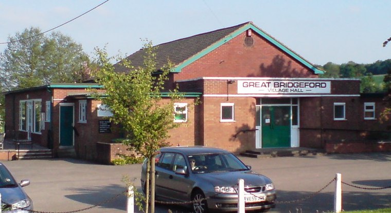
Photo: Peter morrell, Public domain.
Great Bridgeford is a village in the Borough of Stafford, Staffordshire, England, and a ward of Seighford civil parish. Population details taken at the 2011 census can be found under Seighford.
Whitgreave
Hamlet

Photo: Peter morrell, Public domain.
Whitgreave is a very small village a few miles to the NNW of Stafford situated midway between the M6 motorway to the west and the A34 trunk road to the east.
Creswell
Village

Photo: Nthep, CC BY-SA 3.0.
Creswell is a small village on the north-western edge of Stafford, the county town of Staffordshire, England situated on elevated ground above the wide floodplain and extensive marshes of the River Sow.
Great Bridgeford Bridge
- Type: Bridge
- Category: transportation
- Location: Seighford, Stafford District, Staffordshire, West Midlands, England, United Kingdom, Britain and Ireland, Europe
- View on OpenStreetMap
Latitude
52.83985° or 52° 50′ 23″ northLongitude
-2.17495° or 2° 10′ 30″ westOpen location code
9C4VRRQG+W2OpenStreetMap ID
way 1283704913OpenStreetMap feature
man_made=bridge
This page is based on OpenStreetMap, Wikidata, and Wikimedia Commons.
We’d love your help improving our open data sources. Thank you for contributing.
Satellite Map
Discover Great Bridgeford Bridge from above in high-definition satellite imagery.
Notable Places Nearby
Highlights include Great Bridgeford Village Hall and Little Bridgeford Bridge.
Nearby Places
Explore places such as Whitgreave Lane and Jasmine Road.
Staffordshire: Must-Visit Destinations
Delve into Stoke-on-Trent, Lichfield, Stafford, and Tamworth.
Curious Bridges to Discover
Uncover intriguing bridges from every corner of the globe.
About Mapcarta. Data © OpenStreetMap contributors and available under the Open Database License". Text is available under the CC BY-SA 4.0 license, except for photos, directions, and the map. Photo: Wikimedia, CC0.