Harrington Heights
Harrington Heights is a building in San Diego County, Southern California, California. Harrington Heights is situated nearby to the sports venue City Boxing, as well as near the helipad San Diego Police Headquarters Heliport.| Tap on a place to explore it |
Places of Interest Nearby
Highlights include City College station and Petco Park.
City College station
Railway station

Photo: Trickymaster, CC0.
City College station is a light rail station on the San Diego Trolley's Orange, Blue, and Silver Lines. It is located in the East Village neighborhood of the city and serves northeast downtown San Diego as well as students at San Diego City College and San Diego High School. City College station is situated 560 feet west of Harrington Heights.
Petco Park
Stadium
 Petco Park is a ballpark in San Diego, California. It is the home of the San Diego Padres of Major League Baseball. The ballpark is located in the East Village neighborhood of downtown San Diego, adjacent to the Gaslamp Quarter. Petco Park is situated 3,500 feet southwest of Harrington Heights.
San Diego Police Headquarters Heliport
Helipad

Photo: KurtM88, CC BY-SA 3.0.
San Diego Police Headquarters Heliport is a helipad, which is situated 540 feet southeast of Harrington Heights.
Places in the Area
Nearby places include East Village and Downtown San Diego.
East Village
Quarter
 East Village is a neighborhood in downtown San Diego, California, United States. It is the largest urban neighborhood in downtown San Diego. It is located east of the Gaslamp Quarter and southeast of the Core district and Cortez Hill in downtown San Diego.
Downtown San Diego

Photo: Rufustelestrat, CC BY-SA 3.0.
Downtown San Diego is the thriving central business district of San Diego. A heavily gentrified area with plenty of tourist amenities, Downtown serves as a hub of business and entertainment, with plenty of restaurants, shops, and nightlife to take in, as well as a few attractions, including several museums and the home of the San Diego Padres baseball team.
Gaslamp Quarter
Quarter
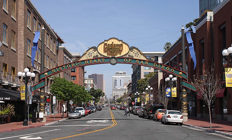
Photo: Bgag, CC BY-SA 3.0.
The Gaslamp Quarter is a historic neighborhood in downtown San Diego, California. It extends from Broadway to Harbor Drive and from 4th to 6th Avenue. The neighborhood is listed as a historic district on the National Register of Historic Places as the Gaslamp Quarter Historic District.
Harrington Heights
- Type: Building
- Location: San Diego County, Southern California, California, United States, North America
- View on OpenStreetMap
Latitude
32.71598° or 32° 42′ 58″ northLongitude
-117.15244° or 117° 9′ 9″ westOpen location code
8544PR8X+92OpenStreetMap ID
way 1284177312OpenStreetMap feature
building=construction
This page is based on OpenStreetMap, Wikidata, and Wikimedia Commons.
We’d love your help improving our open data sources. Thank you for contributing.
Satellite Map
Discover Harrington Heights from above in high-definition satellite imagery.
Notable Places Nearby
Highlights include City Boxing and San Diego Police Department - Headquarters.
Nearby Places
Explore places such as Union Square at Broadway and Hive Sushi Lounge.
San Diego County: Must-Visit Destinations
Delve into San Diego, Chula Vista, Oceanside, and Carlsbad.
Curious Buildings to Discover
Uncover intriguing buildings from every corner of the globe.
About Mapcarta. Data © OpenStreetMap contributors and available under the Open Database License". Text is available under the CC BY-SA 4.0 license, except for photos, directions, and the map. Photo: Bovlb, Public domain.