Shohadaye Kan
Shohadaye Kan is a building in Tehran, Central Iran. Shohadaye Kan is situated nearby to the park بوستان ارمغان, as well as near the government office سرای محله کن.| Tap on a place to explore it |
Places of Interest Nearby
Highlights include Shahran Metro Station and Kouhsar Forest Park.
Shahran Metro Station
Metro station

Photo: Truth teller3.14159265, CC BY-SA 4.0.
Shahran Metro Station is situated 1 km south of Shohadaye Kan.
Kouhsar Forest Park
Forest

Photo: Pouyan666, CC BY-SA 4.0.
Koohsar Shahran Park is a forest park located in shahran, northern Tehran, Iran. It covers an area of about 10 square kilometers, and includes ramps and facilities for cycling and skating.
Amin Police Academy
University
 Amin Police Academy is a police academy in Iran affiliated with the Law Enforcement Command of Islamic Republic of Iran. The academy has provided training courses for police forces from 16 countries and is headed by General Amir-Hossein Yavari. Amin Police Academy is situated 3 km west of Shohadaye Kan.
Places in the Area
Nearby places include District 5 and Almahdi - Simun Bolivar.
District 5
Suburb

Photo: ShahranShomali, CC0.
District 5 is one of 22 central districts of Tehran County in Tehran Province, Iran. This district is limited to Kan River and lands of District 22 in the west and to Mohammad Ali Jenah and Ashrafi Esfahani highways in the east.
Almahdi - Simun Bolivar
Neighborhood
Simon Bolivar, also called Almahdi, is an affluent neighborhood in north western Tehran located on the hills of Alborz Mountains. Due to the latest census held in Tehran, the hood is home to 53000 people in a 1.36 square kilometers wide area. Almahdi - Simun Bolivar is situated 4 km east of Shohadaye Kan.
Punak
Neighborhood
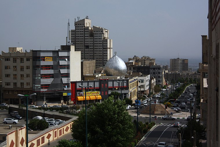
Photo: Blondin Rikard, CC BY 2.0.
Punak is a high-class and luxurious neighborhood in north Tehran, the capital city of Iran. The name of one of the most expensive and promising neighborhoods in the city of Tehran, located in the northwest. Punak is situated 4 km east of Shohadaye Kan.
Shohadaye Kan
- Type: Public transport
- Categories: building and transportation
- Location: Tehran, Central Iran, Iran, Middle East, Asia
- View on OpenStreetMap
Latitude
35.76345° or 35° 45′ 48″ northLongitude
51.28431° or 51° 17′ 4″ eastOperator
Tehran Urban and Suburban Railway CompanyNetwork
Tehran MetroOpen location code
8H7HQ77M+9POpenStreetMap ID
way 1286508521OpenStreetMap feature
building=transportation
This page is based on OpenStreetMap, Wikidata, and Wikimedia Commons.
We’d love your help improving our open data sources. Thank you for contributing.
Satellite Map
Discover Shohadaye Kan from above in high-definition satellite imagery.
Notable Places Nearby
Highlights include بوستان ارمغان and Police+10.
Nearby Places
Explore places such as Setayesh Pharmacy and لوازم یدکی شهران.
Tehran: Must-Visit Destinations
Delve into Tehran, Ray, Varamin, and Damavand.
Curious Places to Discover
Uncover intriguing places from every corner of the globe.
About Mapcarta. Data © OpenStreetMap contributors and available under the Open Database License". Text is available under the CC BY-SA 4.0 license, except for photos, directions, and the map. Photo: Wikimedia, CC0.