Station de Pompage des Eaux Usées
Station de Pompage des Eaux Usées is a building in Fribourg, Sarine District, Canton of Fribourg which is located on Route de la Pisciculture. Station de Pompage des Eaux Usées is situated nearby to the university Haute école d’ingénierie et d’architecture de Fribourg, as well as near the library Bibliothèque de la Haute école d’ingénierie et d’architecture.| Tap on a place to explore it |
Places of Interest Nearby
Highlights include Natural History Museum of Fribourg and Pont de Pérolles.
Natural History Museum of Fribourg
Museum
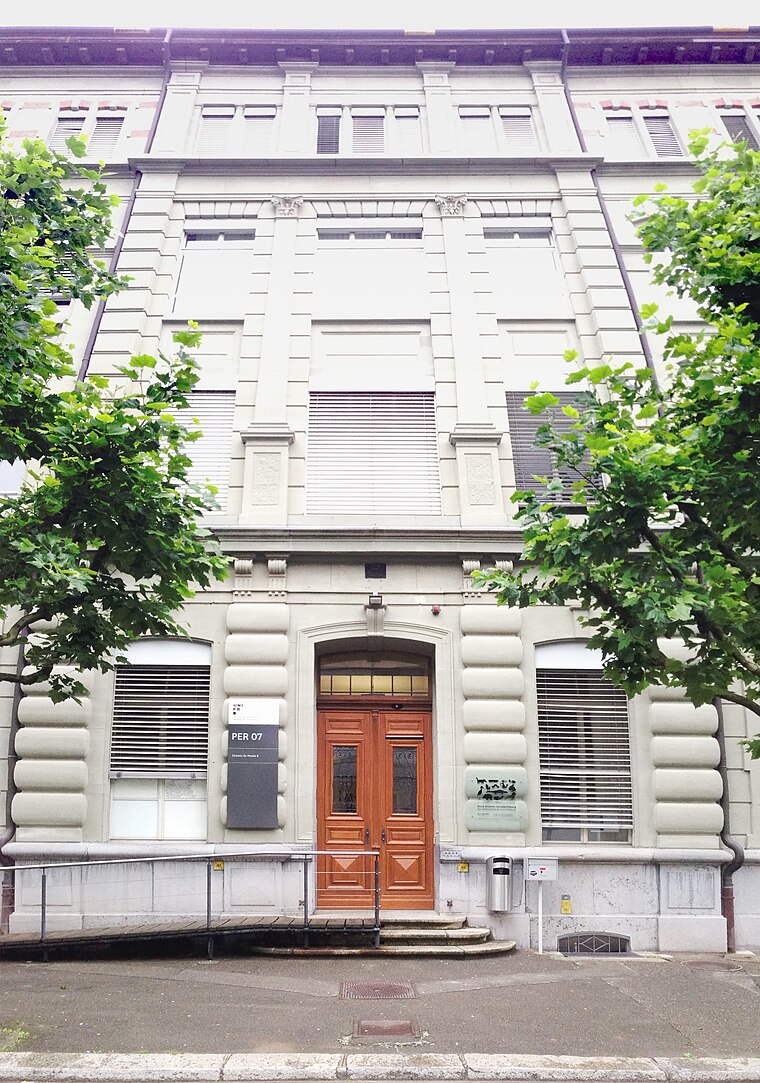
Photo: Quadrien, CC BY-SA 4.0.
The Natural History Museum of Fribourg was established in 1823 with the aim of providing the public with a better understanding of nature, especially the natural heritage of the Fribourg region. Natural History Museum of Fribourg is situated 450 metres northwest of Station de Pompage des Eaux Usées.
Pont de Pérolles
Bridge

Photo: Mathieuclement, CC BY 3.0.
Pont de Pérolles is a bridge, which is situated 450 metres southwest of Station de Pompage des Eaux Usées.
Cathedral of St Nicholas
Church

Photo: Wikimedia, CC BY-SA 3.0.
Fribourg Cathedral is a Roman Catholic cathedral in Fribourg, Switzerland, built in the Gothic style, on a rocky outcrop 50 metres above the river Sarine, dominating the medieval town below. Cathedral of St Nicholas is situated 2 km north of Station de Pompage des Eaux Usées.
Places in the Area
Nearby places include Marly and Pierrafortscha.
Marly
Village
 Marly is a municipality in the district of Sarine in the canton of Fribourg in Switzerland. Its German name is Mertenlach, but this is no longer common, although still in regional use.
Pierrafortscha
Hamlet

Photo: Ludo29, CC BY-SA 3.0.
Pierrafortscha is a municipality in the district of Sarine in the canton of Fribourg in Switzerland.
Villarsel-sur-Marly
Village

Photo: WWHenderson20, CC BY-SA 3.0.
Villarsel-sur-Marly is a municipality in the district of Sarine in the canton of Fribourg in Switzerland. Villarsel-sur-Marly is situated 3 km south of Station de Pompage des Eaux Usées.
Station de Pompage des Eaux Usées
- Type: Building
- Address: Route de la Pisciculture 35a, Fribourg, 1700
- Location: Fribourg, Sarine District, Canton of Fribourg, Western Switzerland, Switzerland, Central Europe, Europe
- View on OpenStreetMap
Latitude
46.78986° or 46° 47′ 24″ northLongitude
7.16053° or 7° 9′ 38″ eastInception
1975Operator
Ville de FribourgOpen location code
8FR9Q5Q6+W6OpenStreetMap ID
way 1290074118OpenStreetMap feature
building=yes
This page is based on OpenStreetMap, Wikidata, and Wikimedia Commons.
We’d love your help improving our open data sources. Thank you for contributing.
Satellite Map
Discover Station de Pompage des Eaux Usées from above in high-definition satellite imagery.
Places with the Same Name
Discover other places named “Station de Pompage des Eaux Usées”.
Notable Places Nearby
Highlights include Haute école d’ingénierie et d’architecture de Fribourg and Bibliothèque de la Haute école d’ingénierie et d’architecture.
Nearby Places
Explore places such as Douglas and La Tuile.
Western Switzerland: Must-Visit Destinations
Delve into Geneva, Lausanne, Lake Geneva, and Neuchatel.
Curious Buildings to Discover
Uncover intriguing buildings from every corner of the globe.
About Mapcarta. Data © OpenStreetMap contributors and available under the Open Database License". Text is available under the CC BY-SA 4.0 license, except for photos, directions, and the map. Photo: Ludo29, CC BY-SA 3.0.