Station de pompage des eaux usées
Station de pompage des eaux usées is a pumping station in Quebec, Canada. Station de pompage des eaux usées is situated nearby to the park Parc Christophe-Colomb, as well as near Parc François-Xavier-Langelier.| Tap on a place to explore it |
Places of Interest Nearby
Highlights include Musée du Haut-Richelieu and Saint-Jean Airport.
Musée du Haut-Richelieu
Museum
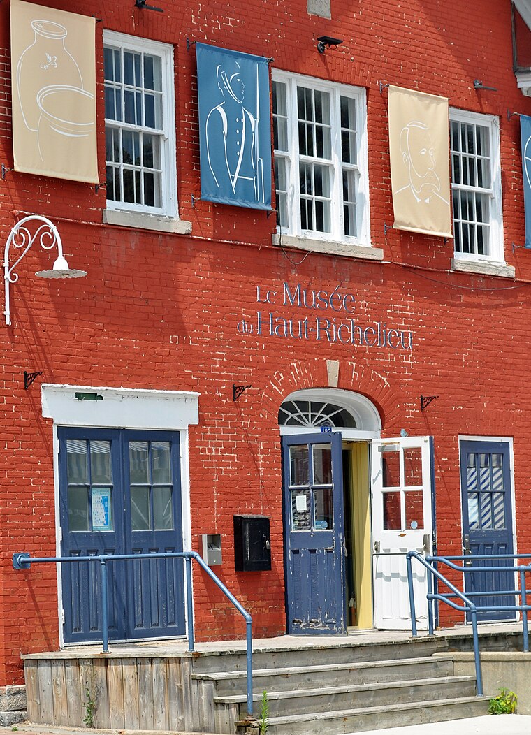
Photo: Yource, CC BY-SA 4.0.
Musée du Haut-Richelieu is a museum, which is situated 1½ km south of Station de pompage des eaux usées.
Saint-Jean Airport
Aerodrome
Saint-Jean Airport is located in the southwestern section of the city of Saint-Jean-sur-Richelieu, Quebec, Canada. The airport handles general aviation traffic and is also the main site of the annual International Balloon Festival of Saint-Jean-sur-Richelieu. Saint-Jean Airport is situated 3 km southwest of Station de pompage des eaux usées.
Royal Military College Saint-Jean
College

Photo: Jpguillet, CC BY-SA 3.0.
The Royal Military College Saint-Jean, commonly referred to as RMC Saint-Jean and CMR, is a Canadian military college and university. It is located on the historical site of Fort Saint-Jean, in Saint-Jean-sur-Richelieu, Quebec, 40 km south of Montreal. Royal Military College Saint-Jean is situated 3 km south of Station de pompage des eaux usées.
Places in the Area
Nearby places include Saint-Jean-sur-Richelieu and L’Acadie.
Saint-Jean-sur-Richelieu

Photo: Karyane, CC BY-SA 3.0.
Saint-Jean-sur-Richelieu is a city of almost 100,000 people in Montérégie, Southwestern Quebec. Agrotourism is one of the region's biggest draws, boasting orchards and cider-houses, vineyards and wineries, and maple sugar shacks.
L’Acadie
Suburb
L'Acadie is a former municipality in the Montérégie region of Quebec, Canada, on the west side of the Richelieu River, across from Saint-Jean-sur-Richelieu, Quebec. L’Acadie is situated 6 km west of Station de pompage des eaux usées.
Mont-Saint-Grégoire
Village

Photo: Pierre Bona, CC BY-SA 3.0.
Mont-Saint-Grégoire is a municipality in the province of Quebec, Canada, located in the Regional County Municipality of Le Haut-Richelieu, Montérégie. The population as of the Canada 2021 Census was 3,136. Mont-Saint-Grégoire is situated 8 km east of Station de pompage des eaux usées.
Station de pompage des eaux usées
- Type: Pumping station
- Category: industry
- Location: Quebec, Canada, North America
- View on OpenStreetMap
Latitude
45.32005° or 45° 19′ 12″ northLongitude
-73.26203° or 73° 15′ 43″ westOperator
Ville de Saint-Jean-sur-RichelieuOpen location code
87Q88PCQ+25OpenStreetMap ID
way 166975008OpenStreetMap feature
man_made=pumping_station
This page is based on OpenStreetMap, Wikidata, and Wikimedia Commons.
We’d love your help improving our open data sources. Thank you for contributing.
Satellite Map
Discover Station de pompage des eaux usées from above in high-definition satellite imagery.
Places with the Same Name
Discover other places named “Station de pompage des eaux usées”.
Notable Places Nearby
Highlights include Parc Christophe-Colomb and Parc François-Xavier-Langelier.
Nearby Places
Explore places such as Thai Express and McDonald’s.
Quebec: Must-Visit Destinations
Delve into Montreal, Gaspé, Quebec City, and Percé.
Curious Pumping Stations to Discover
Uncover intriguing pumping stations from every corner of the globe.
About Mapcarta. Data © OpenStreetMap contributors and available under the Open Database License". Text is available under the CC BY-SA 4.0 license, except for photos, directions, and the map. Photo: Taxiarchos228, CC BY-SA 3.0.