Maison de la Chapelle du Roi
Maison de la Chapelle du Roi is a building in Ville-d’Avray, Arrondissement of Boulogne-Billancourt, Île-de-France. Maison de la Chapelle du Roi is situated nearby to the town hall Mairie de Ville-d’Avray, as well as near the fountain Fontaine du Roi, Ville-d’Avray.| Tap on a place to explore it |
Places of Interest Nearby
Highlights include Fontaine du Roi, Ville-d’Avray and Château de Thierry.
Fontaine du Roi, Ville-d’Avray
Fountain

Photo: Chabe01, CC BY-SA 4.0.
Fontaine du Roi, Ville-d’Avray is a fountain, which is situated 130 metres south of Maison de la Chapelle du Roi.
Château de Thierry
Museum

Photo: PHILDIC, CC BY-SA 3.0.
Château de Thierry is a museum, which is situated 190 metres southwest of Maison de la Chapelle du Roi.
Parc du Docteur Bazennerye
Park

Photo: Chabe01, CC BY-SA 4.0.
Parc du Docteur Bazennerye is a park, which is situated 200 metres southwest of Maison de la Chapelle du Roi.
Places in the Area
Nearby places include Ville-d’Avray and Marnes-la-Coquette.
Ville-d’Avray
Town
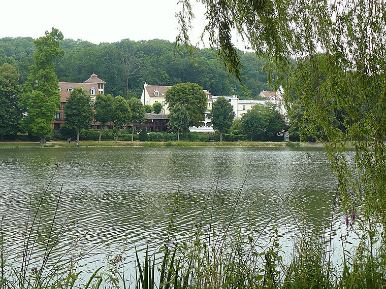
Photo: Wikimedia, Public domain.
Ville-d'Avray is a commune in the western suburbs of Paris, France. It is located 11.9 km from the centre of Paris. The commune is part of the arrondissement of Boulogne-Billancourt in the Hauts-de-Seine department.
Marnes-la-Coquette
Village

Photo: Thor19, CC BY-SA 3.0.
Marnes-la-Coquette is a commune in the western suburbs of Paris, France. Located 13.1 km from the centre of Paris, the town is situated in the Hauts-de-Seine department on the departmental border with Yvelines between the Parc de Saint-Cloud and the Forest of Fausses-Reposes.
Garches
Town

Photo: Benjism89, CC BY-SA 3.0.
Garches is a commune in the Hauts-de-Seine department, in the western suburbs of Paris, France. It is located 11.9 km from the centre of Paris. Garches has remained largely residential, with a population of 17,898 as of 2021, but is also the location of Raymond Poincaré University Hospital, which specialises in traumatology, road accidents and physiotherapy.
Maison de la Chapelle du Roi
- Type: Building
- Also known as: “Le Peplos vert”
- Location: Ville-d’Avray, Arrondissement of Boulogne-Billancourt, Hauts-de-Seine, Île-de-France, France, Europe
- View on OpenStreetMap
Latitude
48.82881° or 48° 49′ 44″ northLongitude
2.18823° or 2° 11′ 18″ eastOpen location code
8FW4R5HQ+G7OpenStreetMap ID
way 129454385OpenStreetMap feature
building=yes
This page is based on OpenStreetMap, Wikidata, and Wikimedia Commons.
We’d love your help improving our open data sources. Thank you for contributing.
Satellite Map
Discover Maison de la Chapelle du Roi from above in high-definition satellite imagery.
Notable Places Nearby
Highlights include Mairie de Ville-d’Avray and Bureau de Poste de Ville D Avray.
Nearby Places
Explore places such as Aux Caprices des Fleurs and Agence Des Lys Immobilier.
Île-de-France: Must-Visit Destinations
Delve into Paris, Versailles, Boulogne-Billancourt, and Paris Charles de Gaulle Airport.
Curious Buildings to Discover
Uncover intriguing buildings from every corner of the globe.
About Mapcarta. Data © OpenStreetMap contributors and available under the Open Database License". Text is available under the CC BY-SA 4.0 license, except for photos, directions, and the map. Photo: Clicsouris, CC BY-SA 2.5.