Loveleen Browes
Loveleen Browes is an optician in Pembrey and Burry Port Town, Carmarthenshire, Wales. Loveleen Browes is situated nearby to Pembrey and Burry Port railway station, as well as near the pub The Portobello Inn.| Tap on a place to explore it |
Places of Interest Nearby
Highlights include Pembrey and Burry Port railway station and Amelia Earhart Monument.
Pembrey and Burry Port railway station
Railway station

Photo: Rosser1954, Public domain.
Pembrey and Burry Port railway station is a railway station on the West Wales line serving Pembrey and Burry Port, in Carmarthenshire, Wales. It is adjacent to Burry Port's main shopping area.
Amelia Earhart Monument
Monument
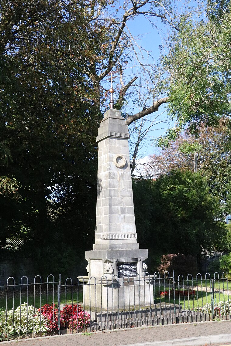
Photo: IwanThomas, CC BY-SA 4.0.
Amelia Earhart Monument is situated 430 feet northeast of Loveleen Browes.
Burry Port Library
Library

Photo: Ronald John Saunders, CC BY-SA 2.0.
Burry Port Library is situated 920 feet west of Loveleen Browes.
Places in the Area
Nearby places include Burry Port and Pembrey.
Burry Port

Photo: David Lewis, CC BY-SA 2.0.
Burry Port is a town in Carmarthenshire in South Wales, 5 miles to the west of Llanelli. It is a harbour town and is famous for being the landing site of Amelia Earheart in her successful attempt at being the first woman to cross the Atlantic Ocean.
Pembrey
Village

Photo: Llywelyn2000, CC BY-SA 3.0.
Pembrey is a village in Carmarthenshire, Wales, situated between Burry Port and Kidwelly, overlooking Carmarthen Bay, with a population of about 2,154 in 2011.
Pwll
Village

Photo: David Lewis, CC BY-SA 2.0.
Pwll is a small coastal village, located between Llanelli and Burry Port, Carmarthenshire, Wales. Situated on a narrow ledge above the tidal Burry Estuary, the village offers panoramic views across the water to the Gower Peninsula and is traversed by the Millennium Coastal Path, a thirteen-mile traffic-free greenway connecting Bynea to Pembrey. Pwll is situated 2 miles east of Loveleen Browes.
Loveleen Browes
- Type: Optician
- Categories: building and shop
- Location: Pembrey and Burry Port Town, Carmarthenshire, South Wales, Wales, United Kingdom, Britain and Ireland, Europe
- View on OpenStreetMap
Latitude
51.68431° or 51° 41′ 4″ northLongitude
-4.24983° or 4° 14′ 59″ westOpen location code
9C3QMQM2+P3OpenStreetMap ID
way 1305144009OpenStreetMap feature
building=yesOpenStreetMap feature
shop=optician
This page is based on OpenStreetMap, Wikidata, and Wikimedia Commons.
We’d love your help improving our open data sources. Thank you for contributing.
Satellite Map
Discover Loveleen Browes from above in high-definition satellite imagery.
Notable Places Nearby
Highlights include The Portobello Inn and Hope & Anchor.
Nearby Places
Explore places such as Burry Bargains and Cadno Furniture and Antiques.
Carmarthenshire: Must-Visit Destinations
Delve into Carmarthen, Llanelli, Ammanford, and Llandovery.
Curious Opticians to Discover
Uncover intriguing opticians from every corner of the globe.
About Mapcarta. Data © OpenStreetMap contributors and available under the Open Database License". Text is available under the CC BY-SA 4.0 license, except for photos, directions, and the map. Photo: Wikimedia, CC0.