IED - San Rafael de Guanapalo
IED - San Rafael de Guanapalo is a grassland in San Luis de Palenque, Casanare Department. IED - San Rafael de Guanapalo is situated nearby to the chapel Capilla de la Misericordia, as well as near the grassland Finca Tamarindo I.| Tap on a place to explore it |
- Type: Grassland
- Address: san luis de palenque, 853039
- Wheelchair access: yes
Places of Interest Nearby
Highlights include Aqueduct.
Aqueduct
Waterworks
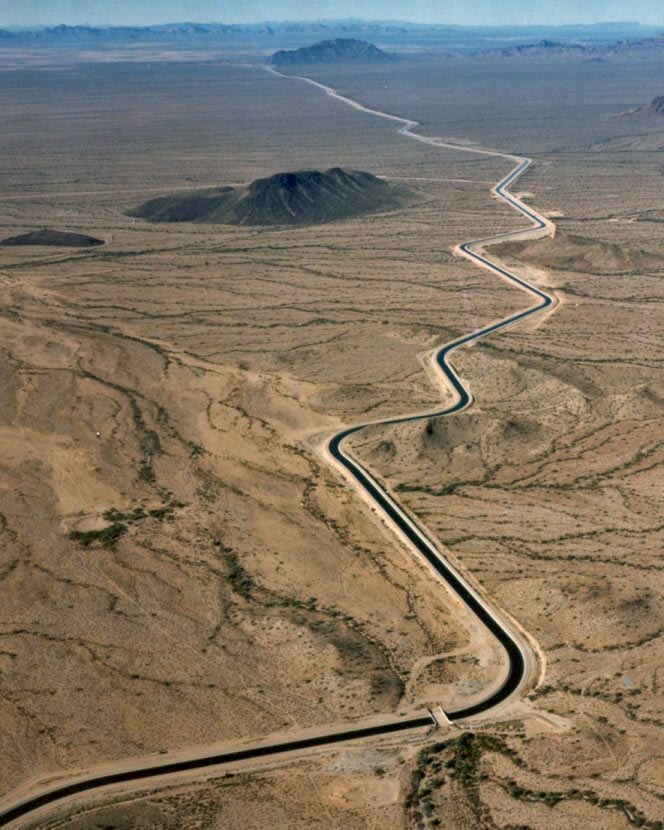
Photo: Wikimedia, Public domain.
An aqueduct is a watercourse constructed to carry water from a source to a distribution point far away. In modern engineering, the term aqueduct is used for any system of pipes, ditches, canals, tunnels, and other structures used for this purpose. Aqueduct is situated 3 km northwest of IED - San Rafael de Guanapalo.
IED - San Rafael de Guanapalo
Latitude
5.35724° or 5° 21′ 26″ northLongitude
-71.81156° or 71° 48′ 42″ westOpen location code
67QC954Q+V9OpenStreetMap ID
way 1310777976OpenStreetMap feature
landuse=grassOpenStreetMap attribute
wheelchair=yes
This page is based on OpenStreetMap, Wikidata, and Wikimedia Commons.
We’d love your help improving our open data sources. Thank you for contributing.
Satellite Map
Discover IED - San Rafael de Guanapalo from above in high-definition satellite imagery.
Notable Places Nearby
Highlights include Capilla de la Misericordia and Finca Tamarindo I.
Nearby Places
Explore places such as Monumento a la cruz and E.A.S San Rafael de Guanapalo.
Colombia: Must-Visit Destinations
Delve into Bogotá, Medellín, Cali, and Cartagena.
Curious Grasslands to Discover
Uncover intriguing grasslands from every corner of the globe.
About Mapcarta. Data © OpenStreetMap contributors and available under the Open Database License". Text is available under the CC BY-SA 4.0 license, except for photos, directions, and the map. Photo: Wikimedia, CC0.