TST Bad Fischau Fischau 2
TST Bad Fischau Fischau 2 is an electrical substation in Bad Fischau-Brunn, Wiener Neustadt District, Lower Austria. TST Bad Fischau Fischau 2 is situated nearby to the railway stop Bad Fischau railway station, as well as near Fischau Castle.| Tap on a place to explore it |
Places of Interest Nearby
Highlights include Fischau Castle and Bad Fischau-Brunn railway station.
Fischau Castle
Castle
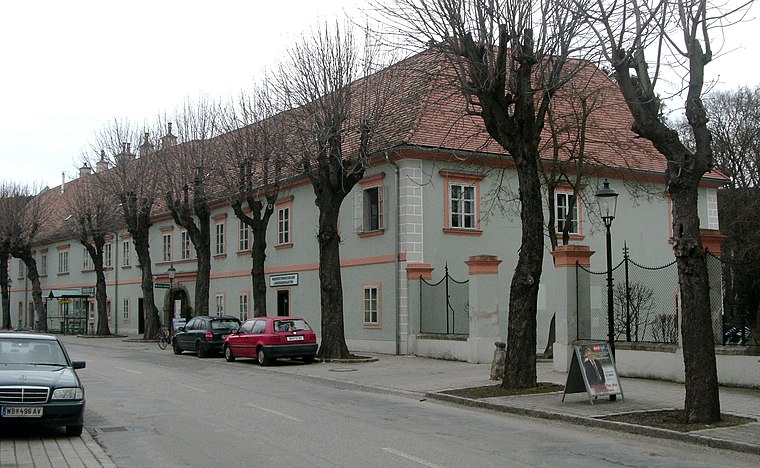
Photo: Wolfgang glock, CC BY-SA 3.0.
Fischau Castle is situated 280 metres northwest of TST Bad Fischau Fischau 2.
Bad Fischau-Brunn railway station
Railway station

Photo: Simon04, CC BY-SA 4.0.
Bad Fischau-Brunn railway station is situated 400 metres southeast of TST Bad Fischau Fischau 2.
Thermalbad, Bad Fischau

Photo: Wolfgang glock, CC BY-SA 3.0.
Thermalbad, Bad Fischau is situated 490 metres northwest of TST Bad Fischau Fischau 2.
Places in the Area
Nearby places include Villenkolonie, Wöllersdorf and Dreistetten.
Villenkolonie, Wöllersdorf
Hamlet

Photo: Wolfgang glock, CC BY-SA 3.0.
Villenkolonie, Wöllersdorf is a hamlet, which is situated 2½ km northeast of TST Bad Fischau Fischau 2.
Dreistetten
Hamlet

Photo: Bwag, CC BY-SA 3.0.
Dreistetten is a hamlet, which is situated 6 km northwest of TST Bad Fischau Fischau 2.
Wiener Neustadt

Photo: Wolfgang Glock, CC BY 3.0.
Wiener Neustadt is a city and Vienna suburb in Lower Austria. For travellers the city might be a starting point to explore the southern parts of Greater Vienna: to the west there are the foothills of the Alps, to the east Neusiedler See and Hungary are not far away, and to the north central Vienna.
TST Bad Fischau Fischau 2
- Type: Electrical substation
- Category: industry
- Location: Bad Fischau-Brunn, Wiener Neustadt District, Lower Austria, Austria, Central Europe, Europe
- View on OpenStreetMap
Latitude
47.82953° or 47° 49′ 46″ northLongitude
16.1699° or 16° 10′ 12″ eastOperator
Netz Niederösterreich GmbHOpen location code
8FVRR5H9+RXOpenStreetMap ID
way 1313171056OpenStreetMap feature
man_made=street_cabinet
This page is based on OpenStreetMap, Wikidata, and Wikimedia Commons.
We’d love your help improving our open data sources. Thank you for contributing.
Satellite Map
Discover TST Bad Fischau Fischau 2 from above in high-definition satellite imagery.
Notable Places Nearby
Highlights include Bad Fischau railway station and Beserlpark.
Nearby Places
Explore places such as Gasthof Hubertushof and Hotel Hubertushof.
Lower Austria: Must-Visit Destinations
Delve into St. Pölten, Wiener Neustadt, Amstetten, and Klosterneuburg.
Curious Electrical Substations to Discover
Uncover intriguing electrical substations from every corner of the globe.
About Mapcarta. Data © OpenStreetMap contributors and available under the Open Database License". Text is available under the CC BY-SA 4.0 license, except for photos, directions, and the map. Photo: Lonezor, CC BY-SA 3.0.