The Mead
The Mead is a dog park in Lyneham and Bradenstoke, Wiltshire, England. The Mead is situated nearby to the ruins Bradenstoke Abbey, as well as near Church of St Mary the Virgin.| Tap on a place to explore it |
Places of Interest Nearby
Highlights include Church of St Mary the Virgin and Church of St Michael and All Angels.
Church of St Mary the Virgin
Church
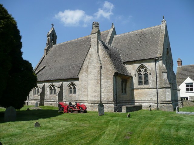
Photo: Jonathan Billinger, CC BY-SA 2.0.
Church of St Mary the Virgin is situated 1,300 feet northeast of The Mead.
Church of St Michael and All Angels
Church

Photo: Eirian Evans, CC BY-SA 2.0.
Church of St Michael and All Angels is situated 1½ miles east of The Mead.
Church of St John the Baptist
Church

Photo: Colin Bates, CC BY-SA 2.0.
Church of St John the Baptist is situated 1½ miles southwest of The Mead.
Places in the Area
Nearby places include Bradenstoke and Dauntsey Lock.
Bradenstoke
Village

Photo: Jonathan Billinger, CC BY-SA 2.0.
Bradenstoke is a village in Wiltshire, England, lying to the north of the former RAF Lyneham airbase and 1.5 miles northwest of Lyneham. Originally lying within Braydon Forest, the "stoke" means "settlement".

New Zealand
Hamlet
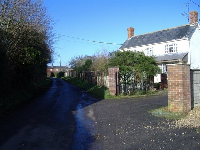
Photo: Roger Cornfoot, CC BY-SA 2.0.
New Zealand is a hamlet in the civil parish of Hilmarton in Wiltshire, England. Nearby villages are Goatacre, Hilmarton and Lyneham; the nearest town is Calne, approximately 4 miles to the southwest.
The Mead
- Type: Dog park
- Category: recreation area
- Location: Lyneham and Bradenstoke, Wiltshire, West Country, England, United Kingdom, Britain and Ireland, Europe
- View on OpenStreetMap
Latitude
51.51061° or 51° 30′ 38″ northLongitude
-2.00445° or 2° 0′ 16″ westOpen location code
9C3VGX6W+66OpenStreetMap ID
way 1316385875OpenStreetMap feature
leisure=dog_park
This page is based on OpenStreetMap, Wikidata, and Wikimedia Commons.
We’d love your help improving our open data sources. Thank you for contributing.
Satellite Map
Discover The Mead from above in high-definition satellite imagery.
Places with the Same Name
Discover other places named “The Mead”.
Notable Places Nearby
Highlights include Bradenstoke Abbey and Round Wood.
Nearby Places
Explore places such as Bungalow Park and Cross Keys Inn.
Wiltshire: Must-Visit Destinations
Delve into Stonehenge, Salisbury, Warminster, and Swindon.
Curious Dog Parks to Discover
Uncover intriguing dog parks from every corner of the globe.
About Mapcarta. Data © OpenStreetMap contributors and available under the Open Database License". Text is available under the CC BY-SA 4.0 license, except for photos, directions, and the map. Photo: herry, CC BY 2.0.