Wallanlage Alteburg
Wallanlage Alteburg is an archaeological site in Bonefeld, Neuwied, Rhineland-Palatinate. Wallanlage Alteburg is situated nearby to the archaeological site Keltisches Gräberfeld, as well as near the spring Quelle ‘Rostheckelchen 2’.| Tap on a place to explore it |
Places of Interest Nearby
Highlights include Bismarckturm.
Bismarckturm

Photo: Bodoklecksel, CC BY-SA 3.0.
Bismarckturm is situated 3 km south of Wallanlage Alteburg.
Places in the Area
Nearby places include Bonefeld and Hardert.
Bonefeld
Village

Photo: LigaDue, CC BY-SA 4.0.
Bonefeld is a municipality in the district of Neuwied, in Rhineland-Palatinate, Germany.
Hardert
Village

Photo: LigaDue, CC BY-SA 4.0.
Hardert is a municipality in the district of Neuwied, in Rhineland-Palatinate, Germany.
Straßenhaus
Village
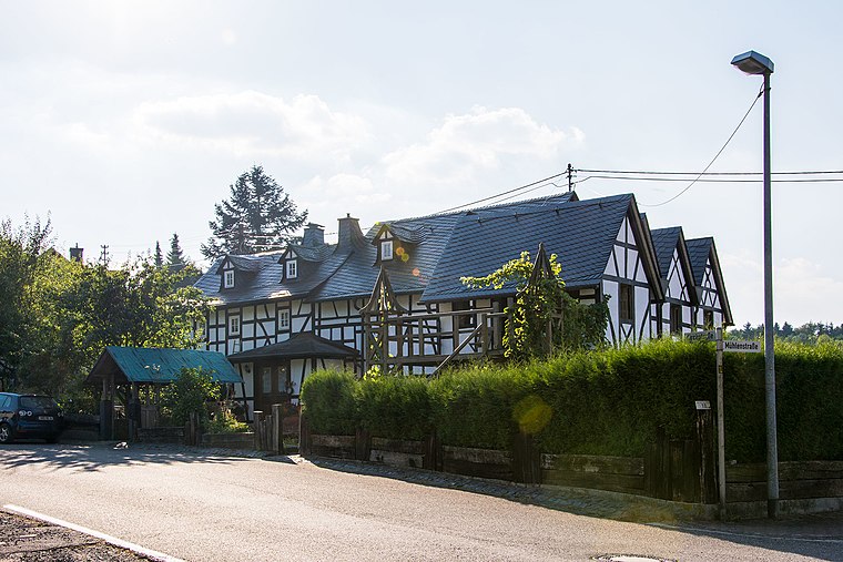
Photo: WstoddenWCo, CC BY-SA 4.0.
Straßenhaus is a municipality in the district of Neuwied, in Rhineland-Palatinate, Germany. The municipality is spelled with an ß which may be replaced by ss if not available, as in, e.g, the website www.strassenhaus.de.
Wallanlage Alteburg
- Type: Archaeological site
- Categories: historic site, tourist attraction, and tourism
- Location: Bonefeld, Neuwied, Rhineland-Palatinate, Germany, Central Europe, Europe
- View on OpenStreetMap
Latitude
50.52771° or 50° 31′ 40″ northLongitude
7.50244° or 7° 30′ 9″ eastOpen location code
9F29GGH2+3XOpenStreetMap ID
way 1317394646OpenStreetMap feature
historic=archaeological_site
This page is based on OpenStreetMap, Wikidata, and Wikimedia Commons.
We’d love your help improving our open data sources. Thank you for contributing.
Satellite Map
Discover Wallanlage Alteburg from above in high-definition satellite imagery.
Notable Places Nearby
Highlights include Keltisches Gräberfeld and Keltisches Hügelgrab (Nachbau).
Nearby Places
Explore places such as Steimelhütte and Grabhügelfeld der Kelten.
Rhineland-Palatinate: Must-Visit Destinations
Delve into Mainz, Trier, Koblenz, and Worms.
Curious Archaeological Sites to Discover
Uncover intriguing archaeological sites from every corner of the globe.
About Mapcarta. Data © OpenStreetMap contributors and available under the Open Database License". Text is available under the CC BY-SA 4.0 license, except for photos, directions, and the map. Photo: Traveler100, CC BY-SA 3.0.