Juna Koba
Juna Koba is a railway station in Gandhinagar, Gujarat. Juna Koba is situated nearby to the village Ambapur, as well as near the suburb GIFT City, Gandhinagar.| Tap on a place to explore it |
Places of Interest Nearby
Highlights include Ambapur Stepwell.
Ambapur Stepwell

Photo: Urvishpatel15, CC BY 3.0.
The step-well of Ambapur is a stepwell in the village of Ambapur, close to the state capital, Gandhinagar. The stepwell is believed to be built in the 15th century although it doesn't have any inscription. Ambapur Stepwell is situated 3 km west of Juna Koba.
Places in the Area
Nearby places include Ambapur and GIFT City, Gandhinagar.
Ambapur
Village

Photo: Wikimedia, CC BY-SA 3.0.
Ambapur is a village located in Gandhinagar district in the state of Gujarat, India. The village is located at about 10 km from the state capital, Gandhinagar. Ambapur is situated 3 km west of Juna Koba.
GIFT City, Gandhinagar
Suburb
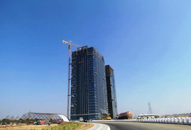
Photo: Gujaratin, CC BY-SA 3.0.
Gujarat International Finance Tec-City also called GIFT City, is a central business district under construction in the Gandhinagar district as a suburb city of Ahmedabad Metropolitan Region in Gujarat, India. GIFT City, Gandhinagar is situated 5 km northeast of Juna Koba.
Adalaj
Town

Photo: Bgag, CC BY-SA 3.0.
Adalaj is a census town in Gandhinagar district in the western Indian state of Gujarat. With a population of roughly 12,000 residents within the town limits as of 2011, Adalaj is known for its semi-arid climate and its historic and religious establishments. Adalaj is situated 6 km northwest of Juna Koba.
Juna Koba
- Type: Railway station
- Categories: building and transportation
- Location: Gandhinagar, Gāndhīnagar District, Gujarat, Western India, India, South Asia, Asia
- View on OpenStreetMap
Latitude
23.14193° or 23° 8′ 31″ northLongitude
72.63855° or 72° 38′ 19″ eastInception
September 17th, 2024Open location code
7JMJ4JRQ+QCOpenStreetMap ID
way 1317807985OpenStreetMap feature
building=train_station
This page is based on OpenStreetMap, Wikidata, and Wikimedia Commons.
We’d love your help improving our open data sources. Thank you for contributing.
Satellite Map
Discover Juna Koba from above in high-definition satellite imagery.
Notable Places Nearby
Highlights include Koba Circle and GNLU.
Nearby Places
Explore places such as Juna Koba and Juna Koba.
Gujarat: Must-Visit Destinations
Delve into Ahmedabad, Dadra and Nagar Haveli, Surat, and Vadodara.
Curious Railway Stations to Discover
Uncover intriguing railway stations from every corner of the globe.
About Mapcarta. Data © OpenStreetMap contributors and available under the Open Database License". Text is available under the CC BY-SA 4.0 license, except for photos, directions, and the map. Photo: Bgag, CC BY-SA 3.0.