Howards Close Farm
Howards Close Farm is a farm in Trunch, Norfolk Coast, England. Howards Close Farm is situated nearby to the evergreen forest The Warren, as well as near the village Trunch.| Tap on a place to explore it |
Places of Interest Nearby
Highlights include Gunton railway station and Church of St Botolph.
Gunton railway station
Railway station

Photo: Stavros1, Public domain.
Gunton railway station is a stop on the Bittern Line in Norfolk, England; it serves the villages of Lower Street, Thorpe Market and Southrepps. It is 19 miles 63 chains from Norwich, between North Walsham to the south and Roughton Road to the north. Gunton railway station is situated 1¼ miles west of Howards Close Farm.
Church of St Botolph
Church

Photo: Creative Commons, CC BY-SA 4.0.
Church of St Botolph is situated 1 mile east of Howards Close Farm.
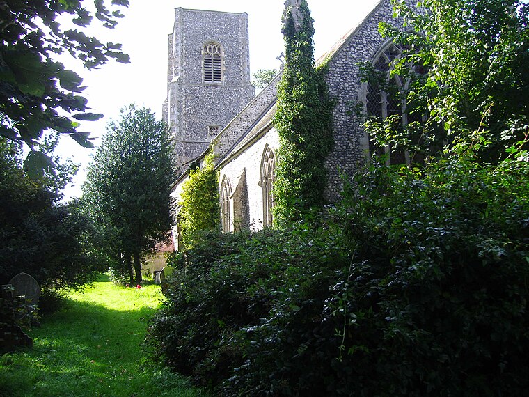
Church of All Saints
Church

Photo: Adrian S Pye, CC BY-SA 2.0.
Church of All Saints is situated 1 mile northeast of Howards Close Farm.
Places in the Area
Nearby places include Trunch and Bradfield.
Trunch
Village
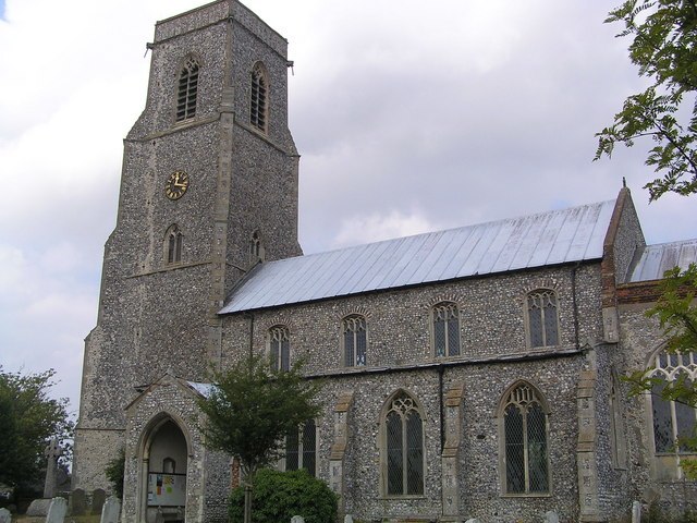
Photo: Helen Hanley, CC BY-SA 2.0.
Trunch is a village and parish in Norfolk, England, situated three miles north of North Walsham and two miles from the coast at Mundesley. At the Census 2011 the village had a population of 909.
Bradfield
Village
 Bradfield is a village and former civil parish, now in the parish of Swafield, in the North Norfolk district, in the county of Norfolk, England. The village is 7.6 miles south south east of Cromer, 18.1 miles north north east of Norwich and 135 miles north east of London.
Southrepps
Village

Photo: Stavros1, Public domain.
Southrepps is a village and a civil parish in the English county of Norfolk. The village is 5.2 miles southeast of Cromer, 21.9 miles north of Norwich and 136.0 miles north of London.
Howards Close Farm
- Type: Farm
- Category: agriculture
- Location: Trunch, Norfolk Coast, Norfolk, East of England, England, United Kingdom, Britain and Ireland, Europe
- View on OpenStreetMap
Latitude
52.86712° or 52° 52′ 2″ northLongitude
1.37785° or 1° 22′ 40″ eastOpen location code
9F43V98H+R4OpenStreetMap ID
way 1318758920OpenStreetMap feature
landuse=farmyard
This page is based on OpenStreetMap, Wikidata, and Wikimedia Commons.
We’d love your help improving our open data sources. Thank you for contributing.
Satellite Map
Discover Howards Close Farm from above in high-definition satellite imagery.
Notable Places Nearby
Highlights include The Warren and Southrepps Common - Open Access Land.
Nearby Places
Explore places such as KW Farm Services and Howards Close.
Norfolk: Must-Visit Destinations
Delve into Norwich, King’s Lynn, Great Yarmouth, and Norfolk Broads.
Curious Farms to Discover
Uncover intriguing farms from every corner of the globe.
About Mapcarta. Data © OpenStreetMap contributors and available under the Open Database License". Text is available under the CC BY-SA 4.0 license, except for photos, directions, and the map. Photo: Mike Hudson, CC BY-SA 3.0.