Clínica Alamed
Clínica Alamed is a doctor’s office in Ribeirão Pires, São Paulo. Clínica Alamed is situated nearby to the historic building Casa de Herbert Richers, as well as near the railway station Ribeirão Pires.| Tap on a place to explore it |
Places of Interest Nearby
Highlights include Ribeirão Pires-Antônio Bespalec and Rio Grande da Serra.
Ribeirão Pires-Antônio Bespalec
Railway station
 Ribeirão Pires-Antônio Bespalec is a train station on CPTM Line 10, located in the city of Ribeirão Pires. Ribeirão Pires-Antônio Bespalec is situated 140 metres west of Clínica Alamed.
Rio Grande da Serra
Building
 Rio Grande da Serra is a train station on CPTM Line 10-Turquoise, located in the city of Rio Grande da Serra. Since 2002, is the terminus station of Line 10. Rio Grande da Serra is situated 4 km southeast of Clínica Alamed.
Places in the Area
Nearby places include Rio Grande da Serra and Recreio da Borda do Campo.
Rio Grande da Serra
Town

Photo: Diego Torres Silvestre, CC BY 2.0.
Rio Grande da Serra is a municipality in the state of São Paulo in Brazil. It is located approximately 49 kilometres by road southeast of the centre of the city of São Paulo. Rio Grande da Serra is situated 4 km southeast of Clínica Alamed.
Recreio da Borda do Campo
Suburb

Photo: BêS, CC BY-SA 3.0.
Recreio da Borda do Campo is a suburb, which is situated 7 km west of Clínica Alamed.
Jardim Ipanema
Suburb
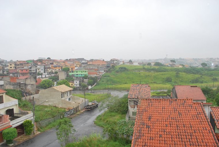
Photo: Manoel Messias de So…, CC BY-SA 3.0.
Jardim Ipanema is a suburb, which is situated 10 km west of Clínica Alamed.
Clínica Alamed
- Type: Doctor’s office
- Categories: health care and building
- Location: Ribeirão Pires, São Paulo, Southeast, Brazil, South America
- View on OpenStreetMap
Latitude
-23.71439° or 23° 42′ 52″ southLongitude
-46.41286° or 46° 24′ 46″ westOpen location code
588M7HPP+6VOpenStreetMap ID
way 1320818926OpenStreetMap feature
amenity=doctorsOpenStreetMap feature
building=yesOpenStreetMap feature
healthcare=doctor
This page is based on OpenStreetMap, Wikidata, and Wikimedia Commons.
We’d love your help improving our open data sources. Thank you for contributing.
Satellite Map
Discover Clínica Alamed from above in high-definition satellite imagery.
Notable Places Nearby
Highlights include Casa de Herbert Richers and Capela Anglicana do Redentor.
Nearby Places
Explore places such as Império dos Livros and Casas Bahia.
São Paulo: Must-Visit Destinations
Delve into São Paulo, Osasco, Santos, and Campinas.
Curious Doctor’s Offices to Discover
Uncover intriguing doctor’s offices from every corner of the globe.
About Mapcarta. Data © OpenStreetMap contributors and available under the Open Database License". Text is available under the CC BY-SA 4.0 license, except for photos, directions, and the map. Photo: Wikimedia, CC BY-SA 3.0.